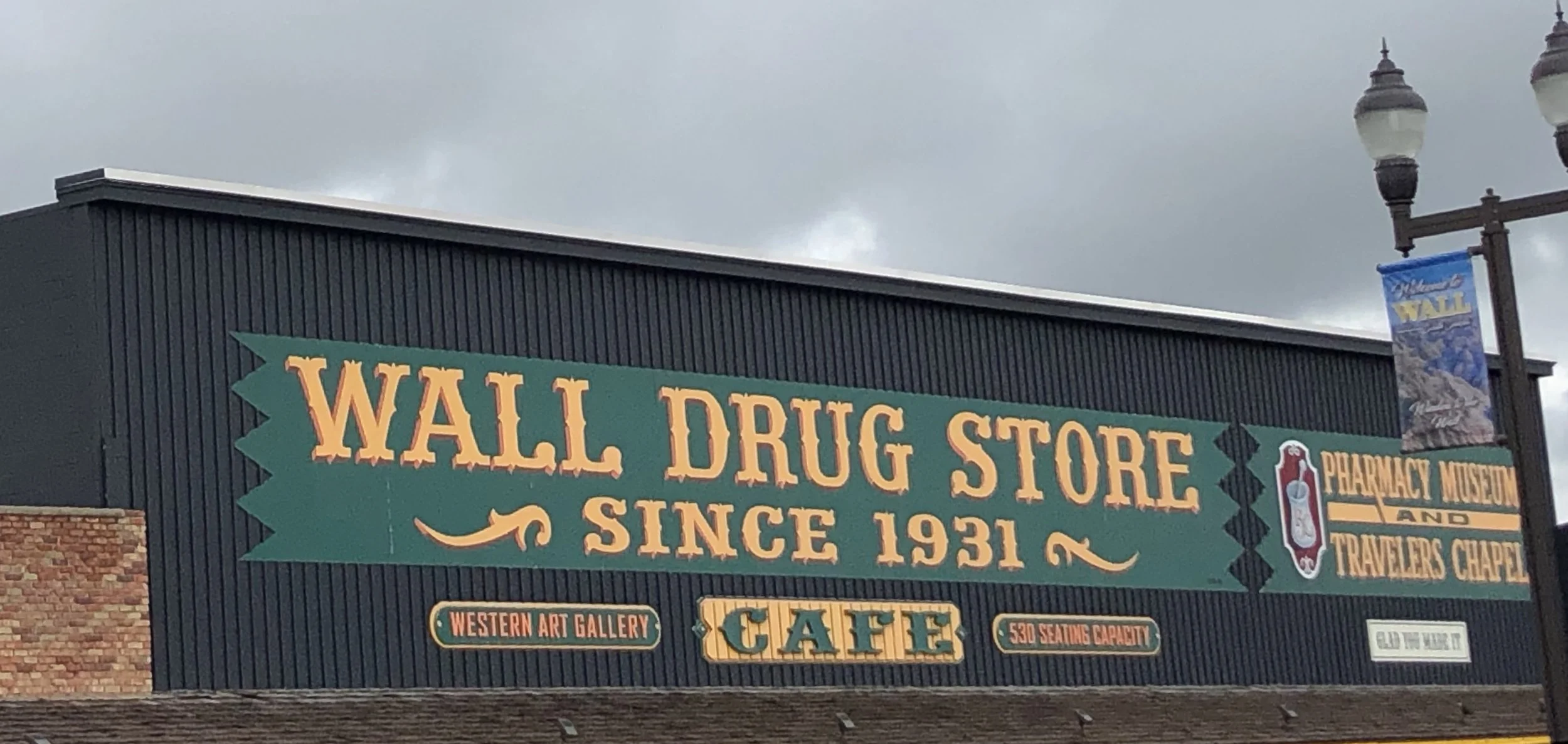
My decision to ride to the Badlands on Sunday (then backtrack to Rapid City) rather than yesterday proved fortuitous. We woke Tuesday morning to a cold rain and strong wind, and I was glad to spend the day driving back to the Badlands rather than fighting the elements. We even had time for a stop at Wall Drug on the way back down to the Badlands. Wall Drug may be one of the most kitschy places on earth; and the free ice water was no draw given the plentiful cold water falling from the skies!
The rain stopped by the time we reached the park, and we were able to see in real time the type of erosion that built the Badlands. The standing water from the rain also brought out frogs, who provided soothing background as we fell asleep in the RV.
This morning dawned dry, with hazy sunshine and moderate winds, mostly at my back. Perfect riding weather.
Once we left the park, we were back in cattle country, and I realized that, outside of parks and urban areas, we had seen little but open range and cattle from west of Pocatello Idaho, all across Wyoming, down into Colorado, and this far into South Dakota, not to mention a good part of eastern Oregon. I know that range land dominates much of Montana and Nebraska as well. Seeing the country at the speed of a bicycle impressed on me the vast area devoted to raising beef cattle.
I am familiar with the arguments that raising beef cattle is an inefficient way to feed a population. It clearly takes a lot of land. But I am more impressed by the vast amounts of land available for the purpose. Sure, it may be more efficient to grow soybeans and vegetables and eat their products directly rather than feeding them to cattle, but honestly, how much tofu are we going to eat? Moreover, little of the land devoted to cattle looks to me like it would support cultivated agriculture.
I was struck by all this today because over the course of the day, the terrain finally started to change. In the morning, all I saw was ranch land. Starting about mid-day, the odd cultivated acreage appeared, and by the end of the day cultivated land had begun to predominate. Due to the late spring, the fields were mostly bare or just tinged with green, so it was hard to tell what is growing. At least one field appeared to be sunflowers (South Dakota is the country’s largest producer of sunflowers) based on remaining stalks from last year’s harvest.
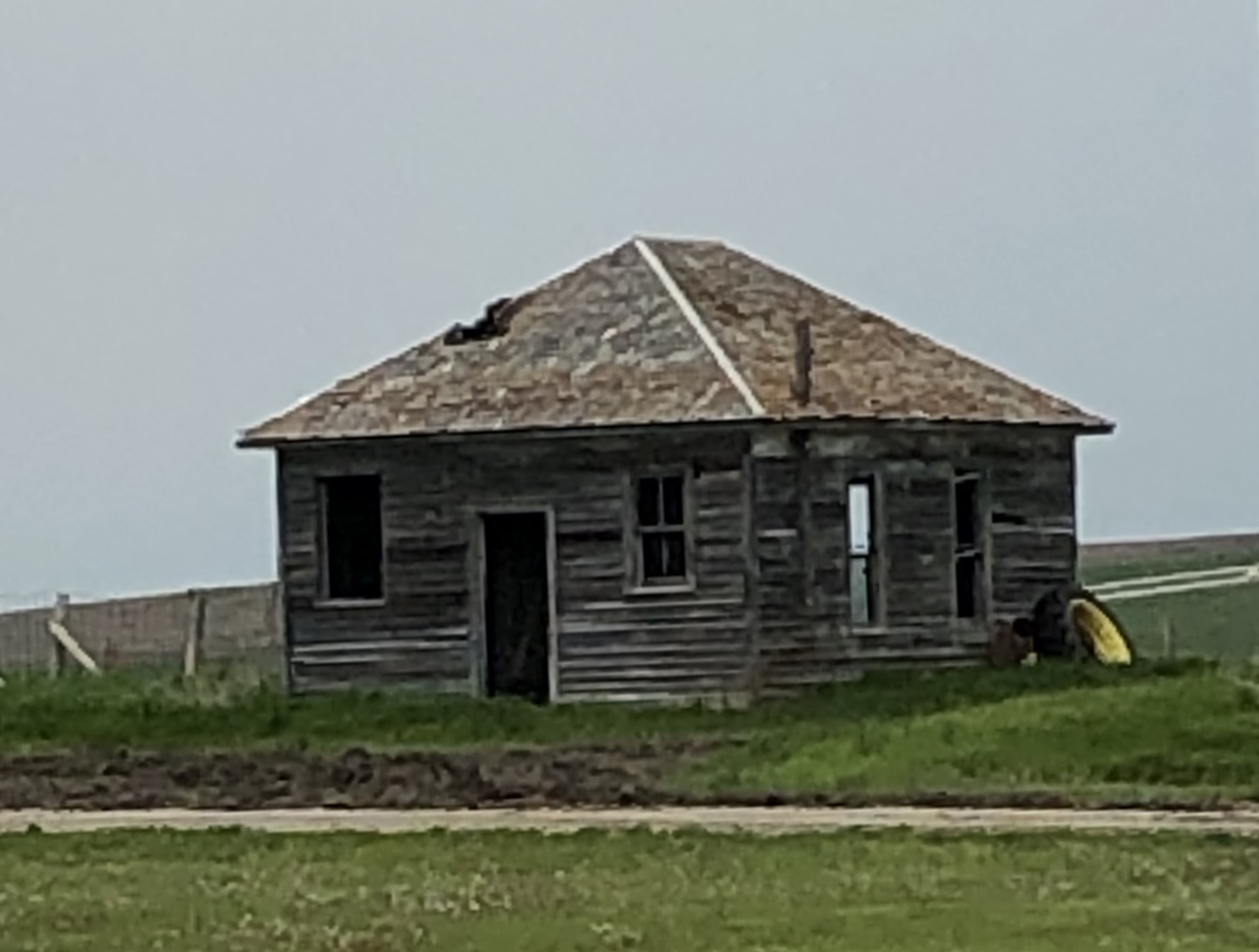
Cultivation usually means barns, but they were in short supply today. This was the best of a limited selection.
There were a fair number of other abandoned buildings, including about half the buildings in the tiny town of Belvedere, where we stopped and made lunch in the RV. Here are a couple of those.
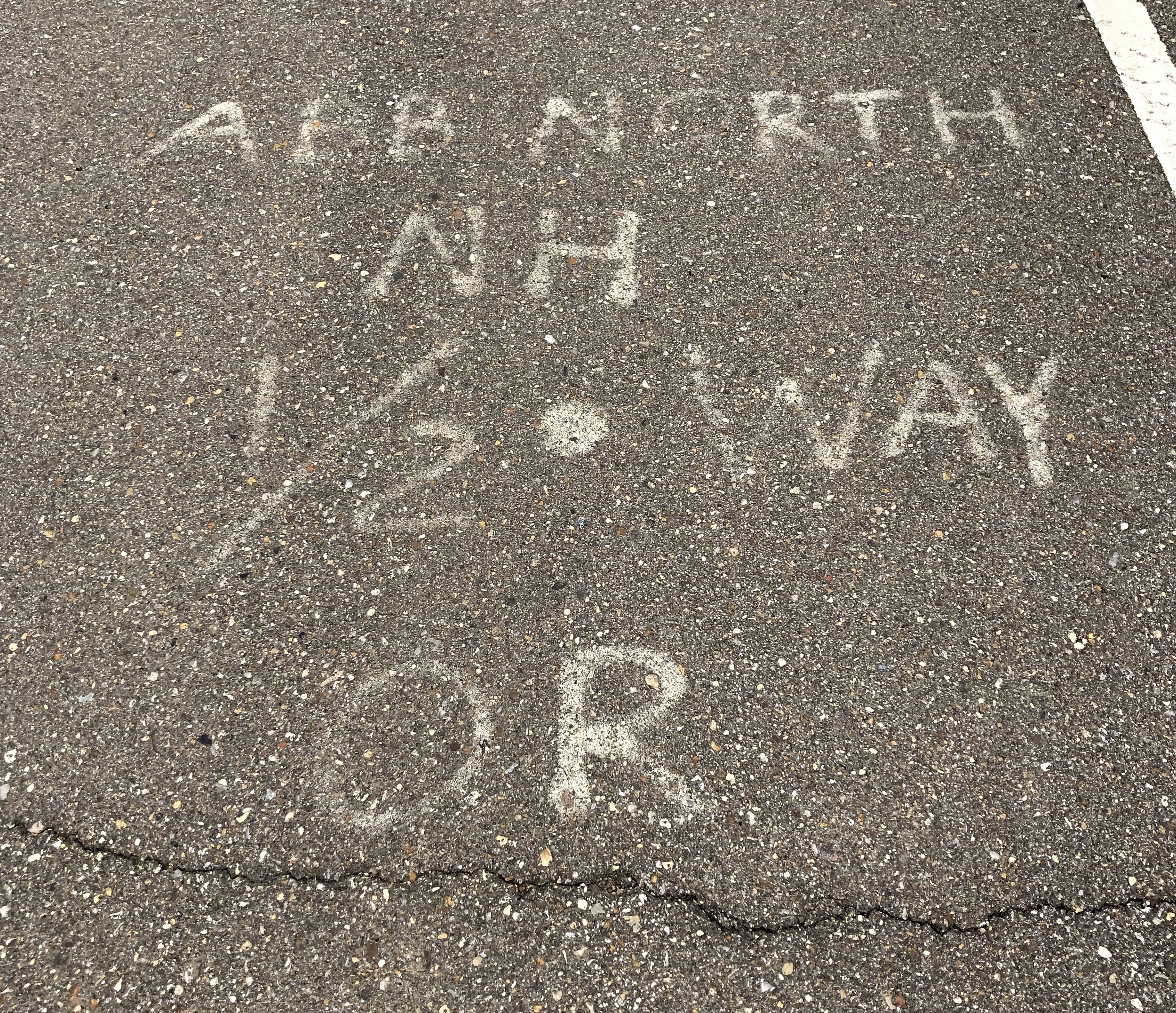
About 50 miles into today’s ride, I saw this painted on the road.
It may be Greek to you, but it meant a lot to me. My route was inspired by a route that America By Bicycle (ABB) follows across the northern part of the country, and I follow the same roads as ABB’s route in some areas. This is where the ABB route reached the half-way point between their start in Astoria, Oregon and their finish in Portsmouth, New Hampshire. My route is a bit longer than theirs, and almost all the additional mileage is yet to come, so I still have a few days before I hit the half-way point on my ride. It was fun to see this reminder that others have travelled this road before me!
The technical stuff:
71.25 miles
2,552 feet of climbing
Average speed 14.9 miles per hour
Weather: Hazy sunshine, temperatures in the low 50s to start and around 70 at the end, winds around 15 MPH from the north-north-west, so cross or rear quartering.
You can see the entire route to date here.


