We were fortunate to enjoy the help, hospitality, encouragement, company, services and good will of many folks during our trip. A hearty thank you to all of the following who contributed to making the trip so wonderful for us.
Bruce and Ellen LeBel, whose contributions were numerous. Toni’s brother and his wife gave us encouragement from the time the trip was conceived. They hosted us just before the ride began at their home in Arcata, California, providing convalescence when Toni was sick and the excellent food and spirits we can always count on at their home. They accompanied us on the first two days of the trip, taking turns riding with Roger. They arranged a stay at their friend’s house in Eugene on the first night of the trip, and once again provided an excellent dinner in their borrowed kitchen. They provided continuing encouragement with regular comments on our blog posts that were insightful and inspiring.
Carl and Lori Hellis. Just after we left Bruce and Ellen and were getting used to being on the road by ourselves, Carl and Lori drove out from Bend to take us to dinner in Sisters, Oregon, and then drove out again to meet us for breakfast the next morning. They were in the midst of moving to Arizona from their home of many years in Oregon and we truly appreciated their coming out to keep us company as we headed out into the wilder parts of Oregon east of Bend.
KJ Hellis. KJ, Carl and Lori’s daughter and Ryan’s girlfriend, did an extensive photo shoot with us to provide the cover photo for our website, and assisted in the design of the website. We are so grateful that she is a part of our life.
Sara LaWall and Michael Alvarado. It was wonderful to reconnect with Sara and Michael and their kids in Boise, and Sara’s recruitment of several members of her church to come out and share a beer with us gave us an opportunity to get to know Boise and its citizens better. And their restaurant recommendation was superb!
Ann Gibson. My sister rode up a six-mile hill in mid-afternoon heat just so she could accompany her little brother down the hill to her house in Winona, Minnesota. She then provided a home for us while we took a break in Minnesota. I’ve spent many nights in her house over the years, so it felt a lot like home, which is just what we needed after six weeks on the road.
All Our “Conversation” Subjects. Thanks to our great niece and nephew Ellie and Sam Patterson, Toni’s friend Sharona Fein, and all of the other people who let us talk to them for the “Conversations” blog.
Kim Pomroy. Roger has known Kim since high school, and she remains a dear and close friend. She always opens her house to us when we are in the Twin Cities, and this was no exception. She also arranged an outing of some of our mutual friends, a great chance to reconnect.
Bill, Claire, Billy, Thomas and Annie Ragen. Bill, my niece Claire’s husband, gets special thanks for taking a train through the suburbs of Chicago to meet us on the route and riding the rest of that day’s route to Michigan City, Indiana. Bill’s determination was evident in his insistence on continuing to ride through heavy traffic with a broken pedal. There was no stopping him! Claire, Billy, Thomas and Annie drove the nearly 90 miles out to meet us at the end of the ride and then drove back so Bill could get to work the next day. Not to mention the hearty dinner they treated us to in Michigan City.
Susan and Don Baxter. We had not seen Susan and Don for over 25 years, but when we let them know that we were going through Erie, Pennsylvania, they enthusiastically invited us to stay at their house. They set a high bar as hosts, providing us plenty of space to spread out for the two nights we spent with them, Don’s exceptional cooking and pours from his extensive Scotch collection, and Susan’s tour around the city of Erie. We’re glad to have reconnected with them and look forward to hosting them in California soon.
Paul and Lori Whitstock. We were delighted to find out that Paul and Lori would be visiting their lake house in the Finger Lakes when we were in upstate New York, and grateful that we got to spend a night with them at their house. We relished the calm view over Cayuga Lake from their deck and dinner with them and Paul’s brother, and Toni loved her boat ride across the lake that allowed her to visit another dear friend on the lake.
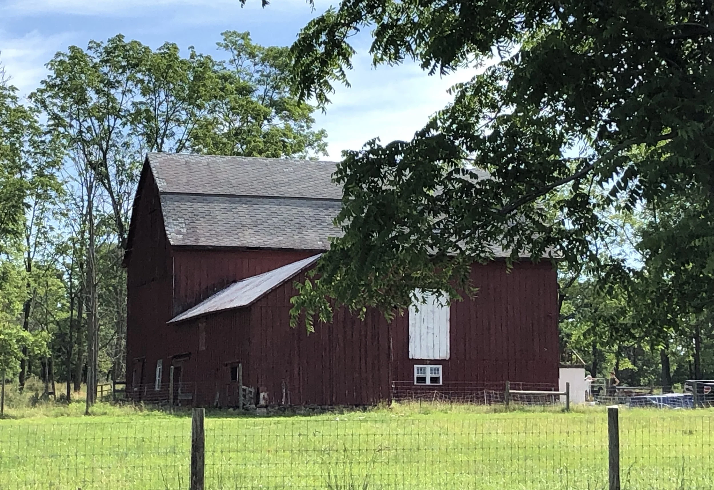
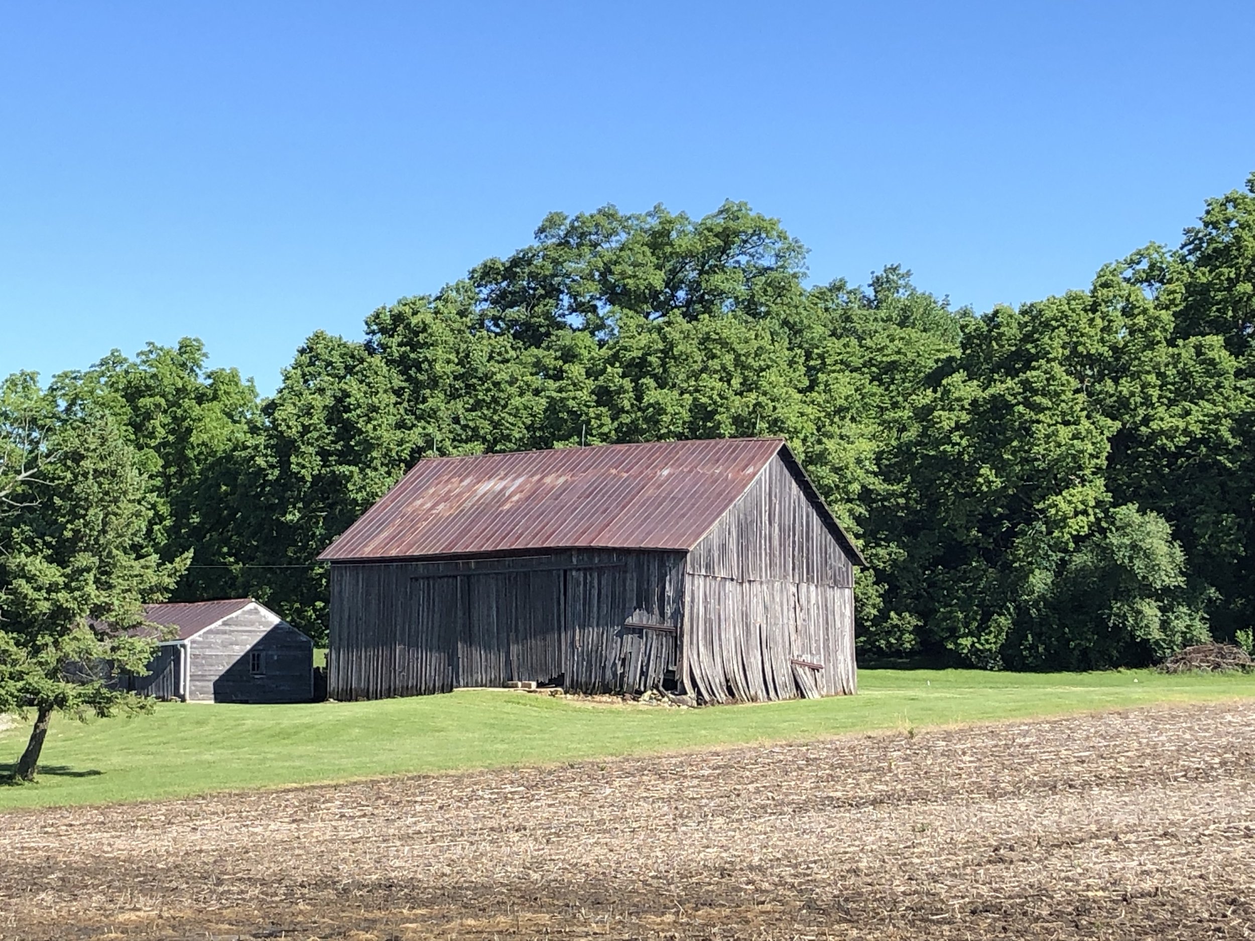
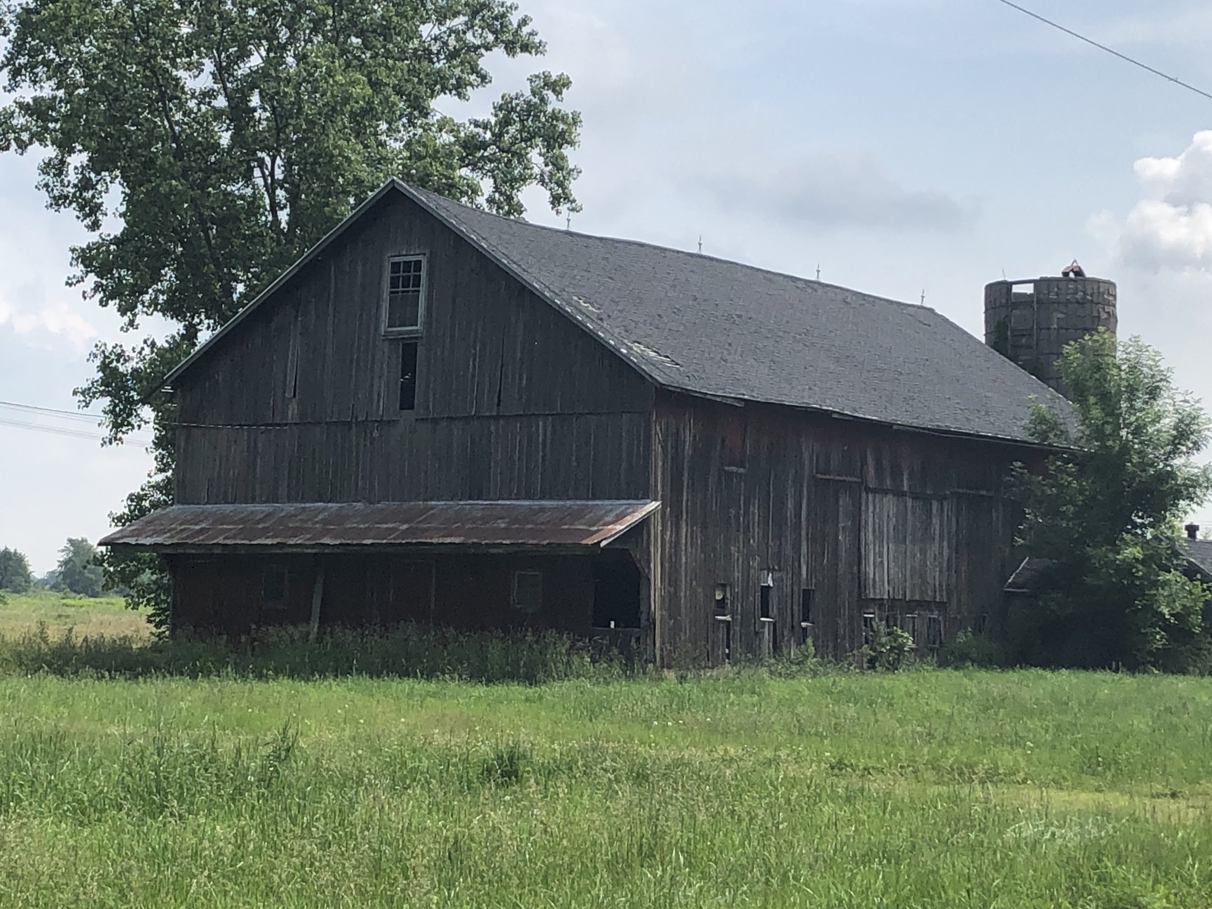
Betsy, Rich and Elizabeth Sadlon. I was delighted when our friend Elizabeth suggested we stop at her folks’ farm in Cazenovia, New York on our way through, and we enjoyed a warm welcome when we drove/rode up. Betsy and Rich’s kind welcome into their home was much appreciated, as was the chance to linger at their farm. Even at the speed of a bicycle, you can’t get the kind of appreciation for the lives of those who provide our food that you do by spending an evening with them.
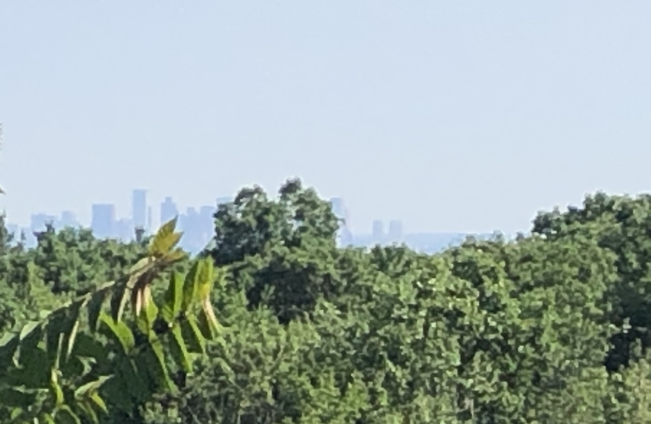
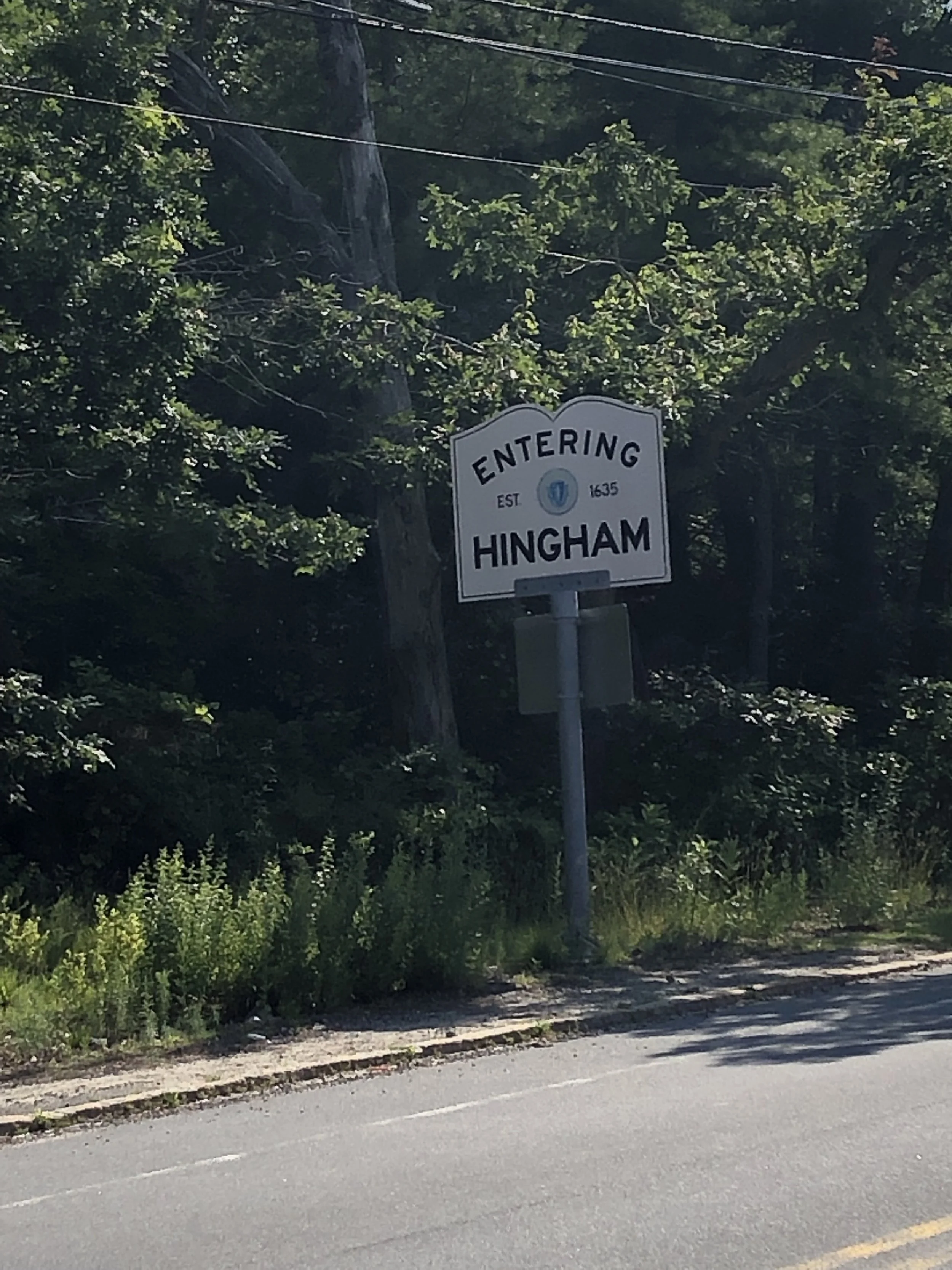
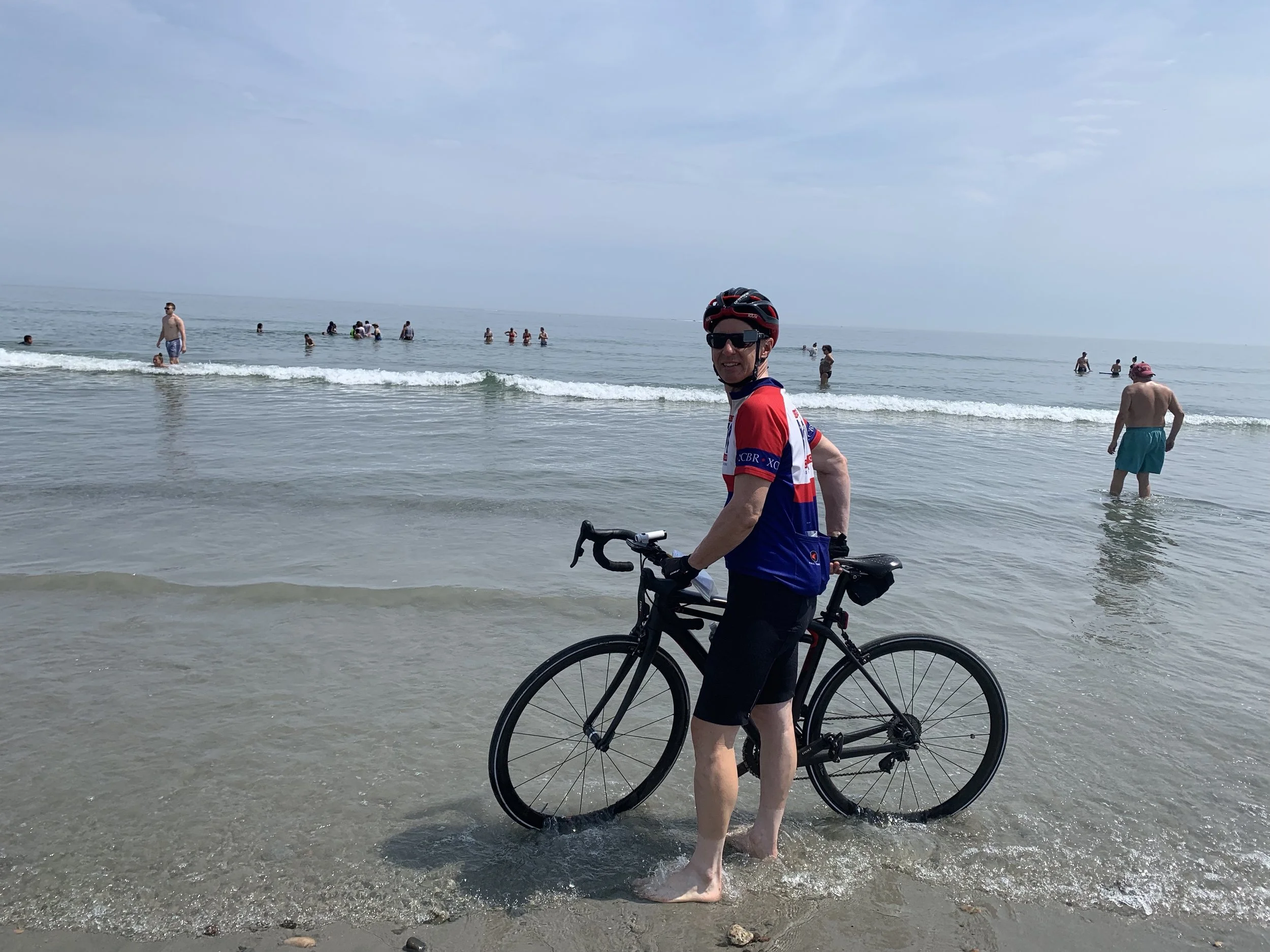
Bill (Pat) and Joan Patterson. My brother and his wife hosted us in Northfield. Once we reached their house, we remained in the company of family the rest of the trip, and arriving at their house was something of a homecoming. We arrived just in time to celebrate Pat’s birthday and were treated to a lobster dinner. They also accompanied us to Natick and to the beach for the ride’s conclusion, where we continued to enjoy their encouragement and support.
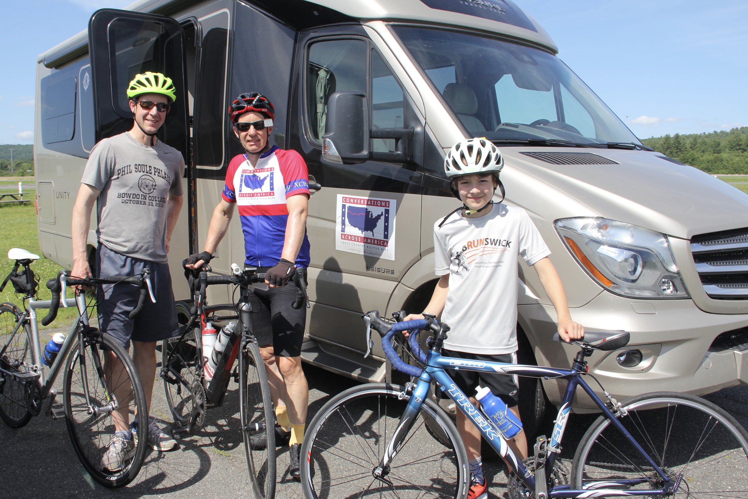
Bill and Ethan Patterson. . My nephew Bill and his son Ethan drove down to Northfield, Massachusetts from their home in Maine to ride the toughest part of the while route with me. With them along, I had no choice but to gut it up the steepest hill of the trip. It felt great — when I was done!
Karen, Jeff, Ben and Fin Greene. My niece Karen and her family opened their home for us at the end of the trip, providing a welcoming last stop of the ride and a full week of continued hospitality as we decompressed and dealt with the logistics of getting home. Karen also provided critical logistical support on the last day of the trip, picking up Ryan and Kyle and driving them to meet us on the route, then driving around Nantasket Beach trying to find a parking space while we concluded the ride. Karen and Fin also prepared the congratulatory banner to celebrate the end of the ride.
Jeff Greene gets special mention for driving out to Northfield early on the morning of the penultimate day of the ride and then getting on his bicycle and riding back to his house with me. The roads we were on were narrow, winding and had a fair amount of traffic, and his company made me feel a little less insane for undertaking that ride.
Ryan and Kyle Patterson flew out from LA just so they could ride the last five miles of the trip with their crazy Dad. Those five miles included some of the heaviest traffic of the trip on a road with no shoulders. As I naturally had to go first to lead them along the route, they effectively blocked all the traffic behind me giving me an open lane. I would say the open lane made the ride stress-free, but in fact I worried about them the whole time!
Sheree Haley. Sheree designed our logo and the jerseys we wore throughout the trip, and then continued as an enthusiastic follower and supporter of the ride.
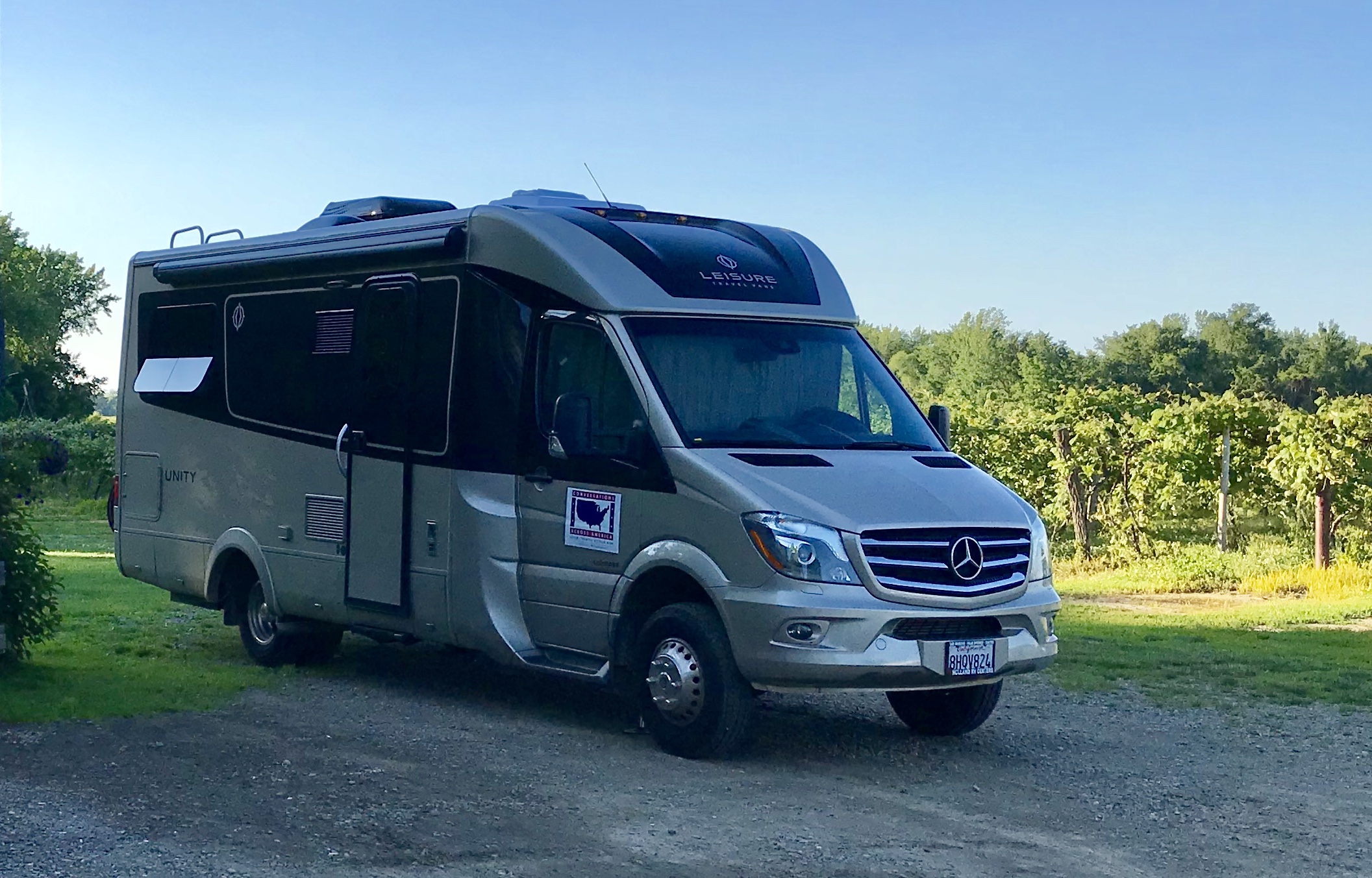
Kevin Pomerleau of Holland RV Center. Kevin sold us our RV and provided cheerful support in answering our questions about operation of the various buttons and switches, disconcerting lights that appeared on controls, unusual sounds, and the like. He told us when we drove off the lot that he was available 24/7 if we had any problems, and he never failed to come through for us.
Roger Kennedy. Roger is a colleague of Roger’s from Disney who always is ready to offer a spare bicycle when in need. Shortly before the trip, at a critical point in my training, my bicycle needed some work that took several days. Roger once again stepped up and loaned my a bike that allowed me to continue my training.
Laura Butler, our house/pet sitter extraordinaire. She took great care of our elderly dog and our home for two and a half months, including fending off persistent So. Cal. Edison tree workers who wanted to cut trees in our absence, and cleaning up the mess resulting from an unfortunate critter who sought refuge in our outdoor air conditioning condenser. We could not have taken the trip if we didn’t have confidence that all would be well at home.
Hundreds of service providers along the route. We naturally encountered hundreds of service providers, mostly in the travel, hospitality and restaurant businesses, from Lyft drivers to food servers to hotel owners and employees. You might say they were just doing their job, but we so appreciated the attention almost all of these folks provided us, and the interest they showed in our endeavor. We had the opportunity to eat at a restaurant in Boulder that had just won the James Beard Award for service; the service there truly excelled, but all across the country we found people who were striving to enrich the lives of their customers and each of them succeeded in improving our trip.
Strangers and new acquaintances across the country. We tremendously enjoyed meeting people and chatting with them about their lives and our endeavors. The more significant conversations turned into blog posts on “The Conversations” page, but there were many more that made the experience so enjoyable.
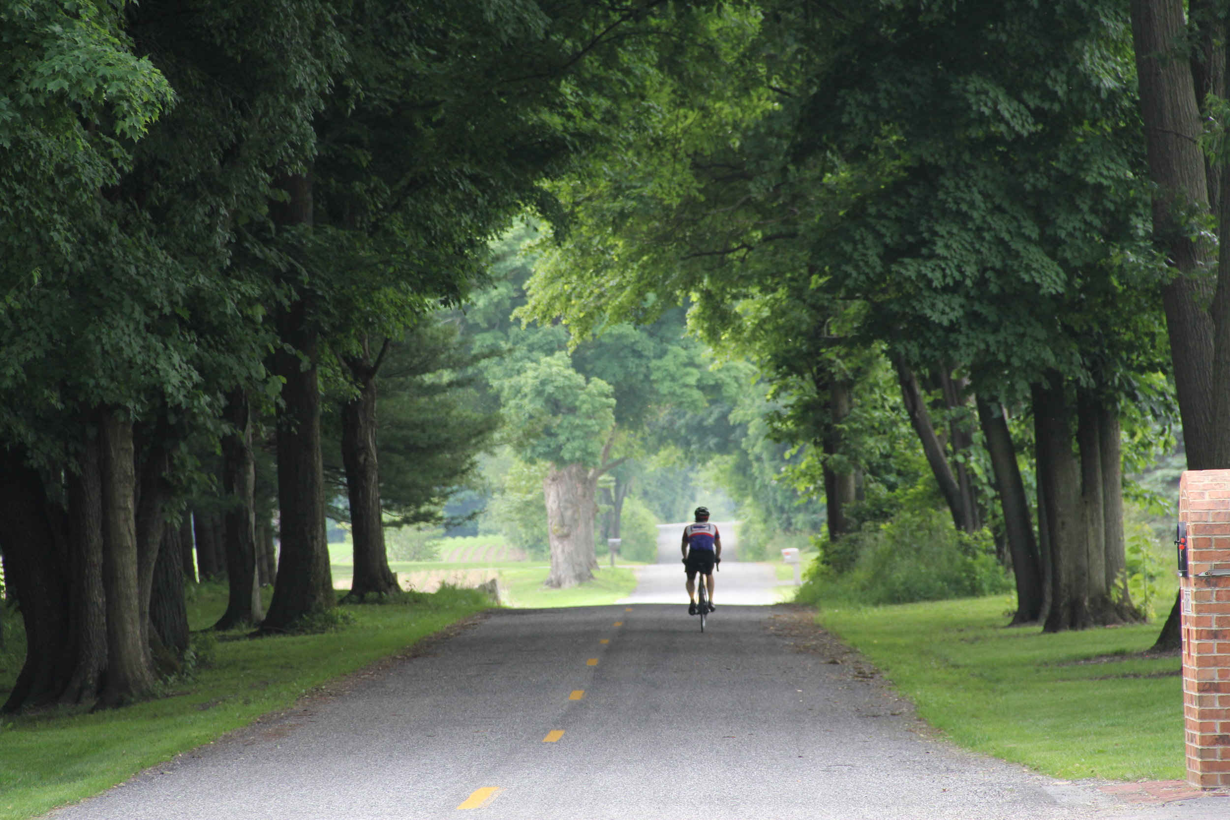
Finally, thanks to all of the drivers on the road who paid attention to what they were doing, saw Roger, and gave Roger plenty of room to ride. In over 3000 miles of riding, there were only a handful of drivers who failed to treat Roger courteously and give Roger comfortable riding room.
If we’ve forgotten anyone, let us know! We’ll make it up with an addendum!