
In multi-day bicycle races, like the Tour de France, one stage near the end of the race is often informally characterized as “The Queen’s Stage.” It may not be the longest or the most difficult stage, but it has some distinguishing characteristic (such as a notable climb) and is close enough to the end that the stage can be decisive to the outcome of the race.
Today was my Queen’s Stage. It was not as long as yesterday’s ride and did not involve as much climbing, though at 70+ miles and over 5,400 feet of climbing, it was no walk in the park either. But the climb that came at the end qualified the day as the Queen’s Stage. It was three miles long, nearly one thousand feet of climbing, had two pitches that were 10% or more, one of which reached about 20% for about 150 meters. What’s a 3,300 mile bicycle trip without at least one 20% pitch? At the end of the 20% pitch I was spent and felt a decided sense of accomplishment. After a brief rest, I finished the remaining two miles of the climb to the end of the ride at my brother’s house in Northfield, Massachusetts.
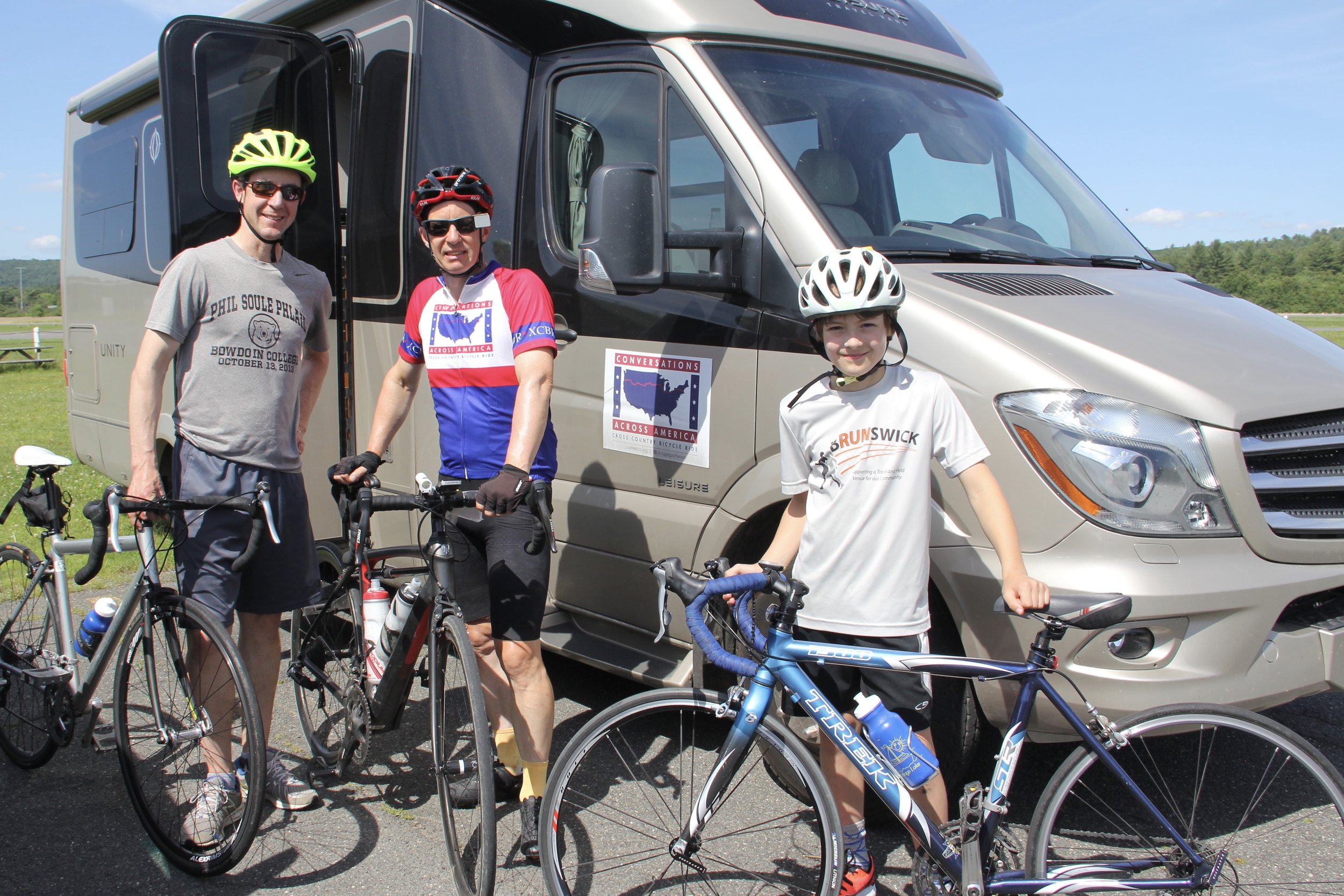
I was joined for the grueling part of the ride by my nephew Bill and his son Ethan, who drove down from Maine to ride with me for the last 10 miles or so. Here we are before we headed off on the ride.
And here as we started out up the steepest part of the climb.

In the early part of the ride, we wound around Pittsfield and nearby Dalton, Massachusetts, and I distinctly felt we were in New England, with streamside mills and colonial style houses.

After we left the Pittsfield area, we spent most of the rest of the day in the cool forests and running streams of the Berkshire Mountains.


We later descended into the Connecticut River valley, and crossed it and the Miller River, one of its tributaries.

Connecticut River

MIller River
We returned to agricultural land in the valley, and saw crops of potatoes, cut flowers, corn and, for the first time since Oregon, hops.


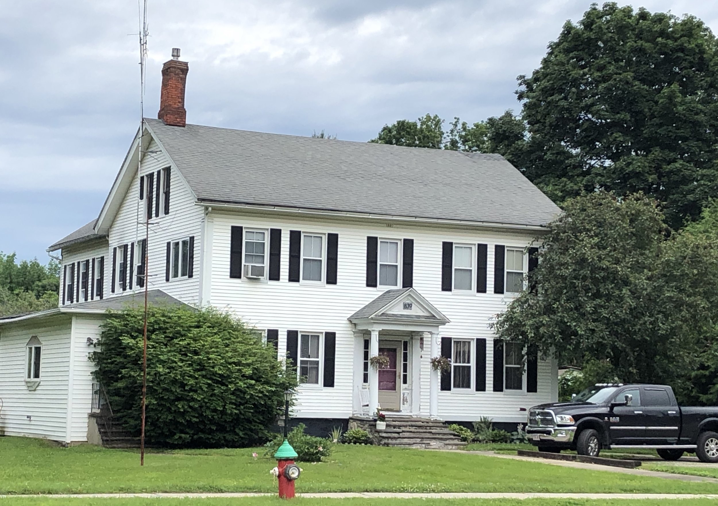
We also passed through historic Deerfield and its preserved architecture.

We ended the day with a lobster dinner and champagne to celebrate my brother’s birthday.
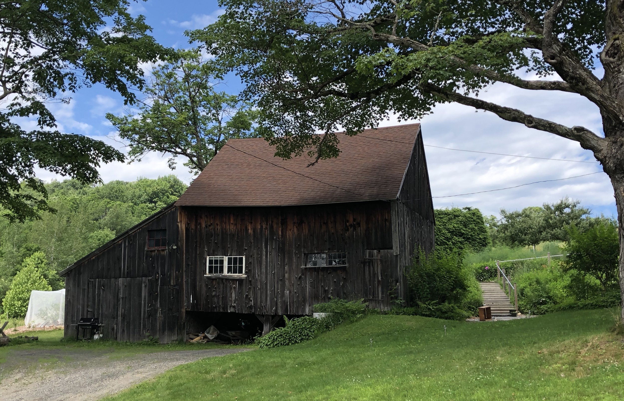
Here are today’s barns. There would be more, but there were so many distinctive barns on today’s route that I would still be riding if I had stopped to photograph each of them.

Windsor, Massachusetts

Windsor, Massachusetts

Cummington, Massachusetts

Ashfield, Massachusetts

Ashfield, Massachusetts

Ashfield, Massachusetts (yes, those are solar panels on the roof)
Ashfield, Massachusetts

Conway, Massachusetts

Northfield, Massachusetts
The Technical Stuff
Pittsfield, MA to Northfield, MA
70.8 miles
5,435 feet of climbing.
Average speed 12.3 miles per hour
Weather: Overcast in the morning with “spot showers” as the weather service called them (mostly just sprinkles). Bright sunshine in the afternoon. Temperatures around 60 to start, low 80s at the end. Winds light and variable.
You can see the entire route to date here.