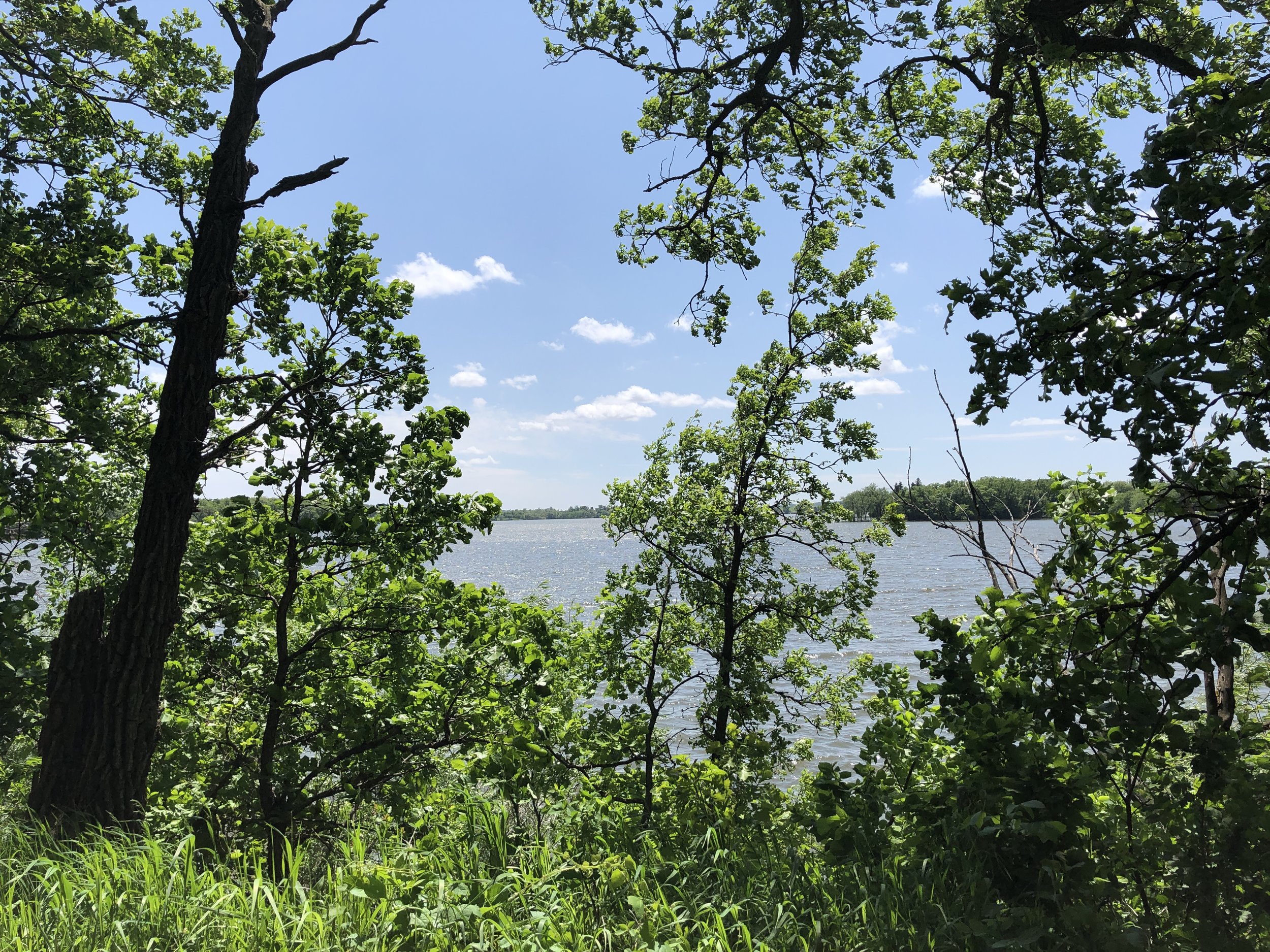
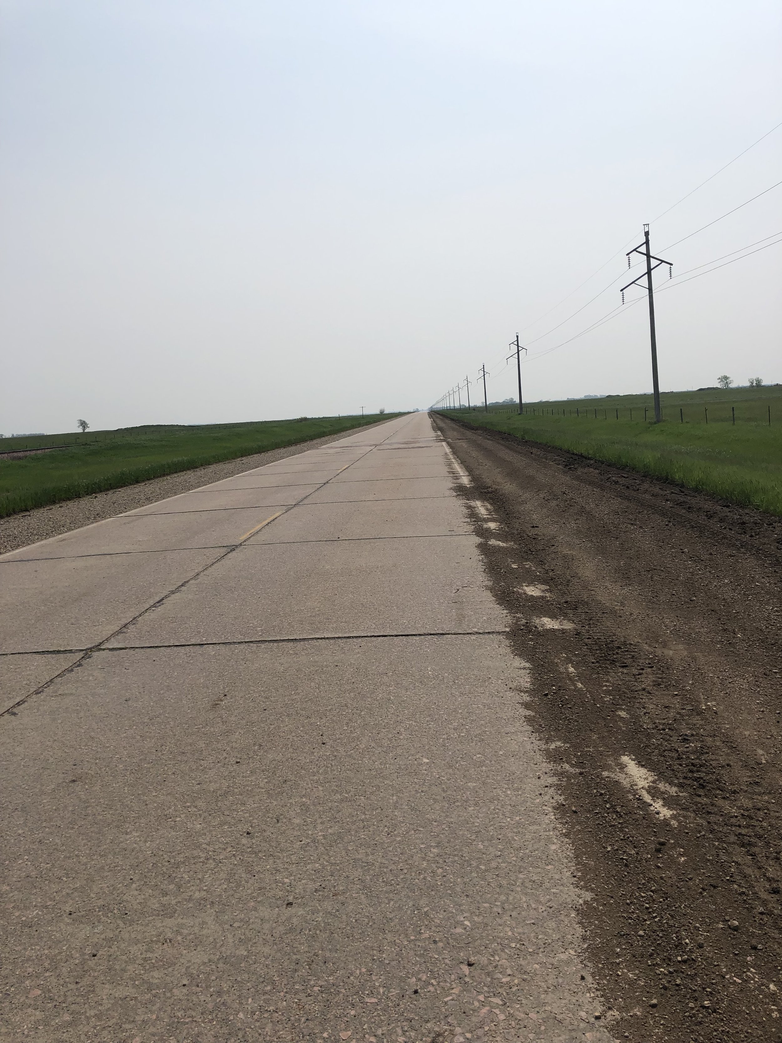
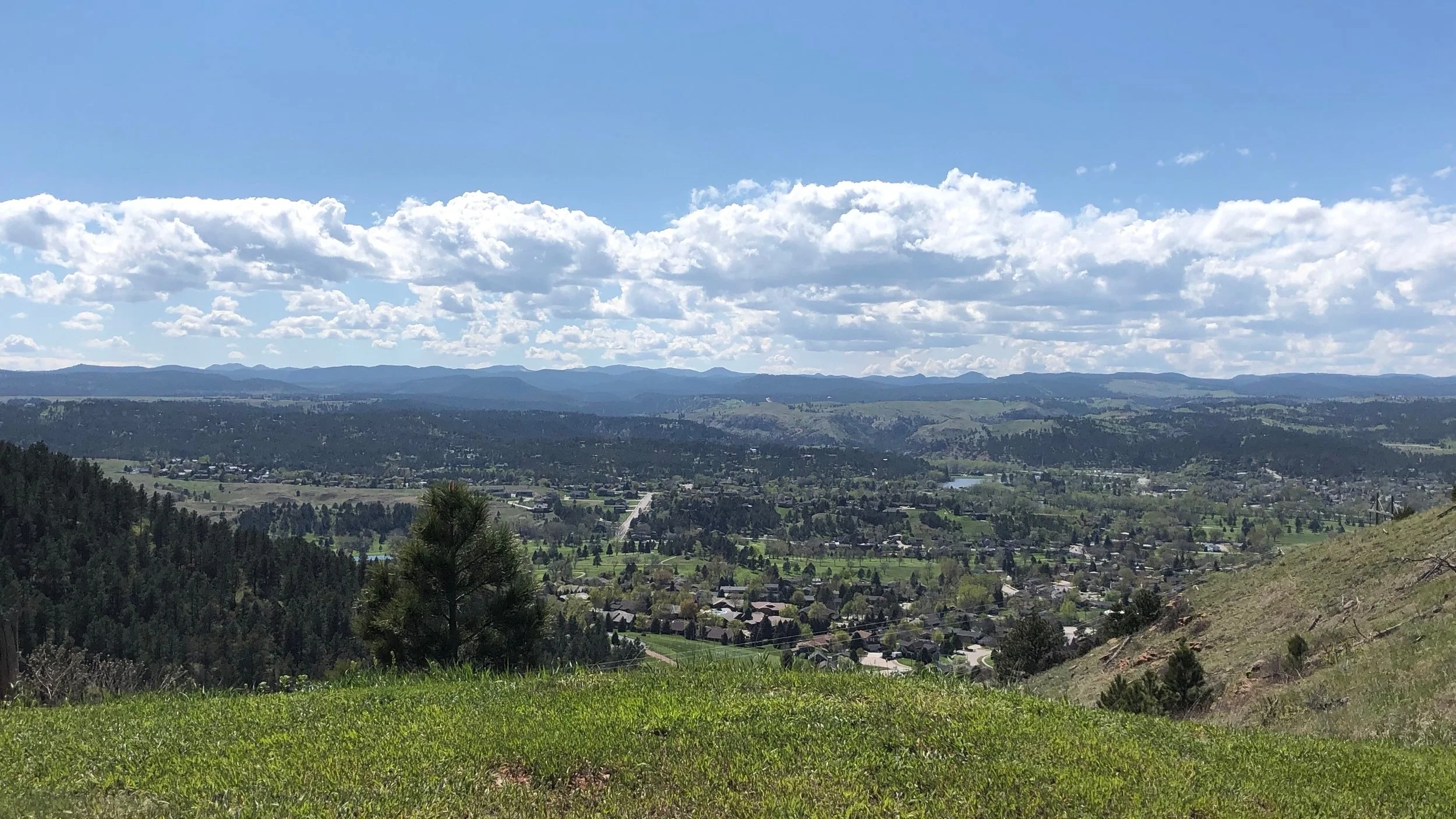
I’ll grant you this, Wisconsin’s back roads are beautiful, and if you don’t mind a little climbing, perfect for cycling. By getting off the busier roads I added about seven miles to my ride today, but added nearly 2,000 feet of climbing. Many of the pitches were double digits, including one in the first mile that hit 16%.
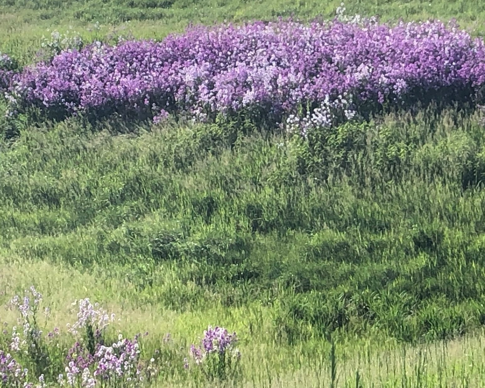
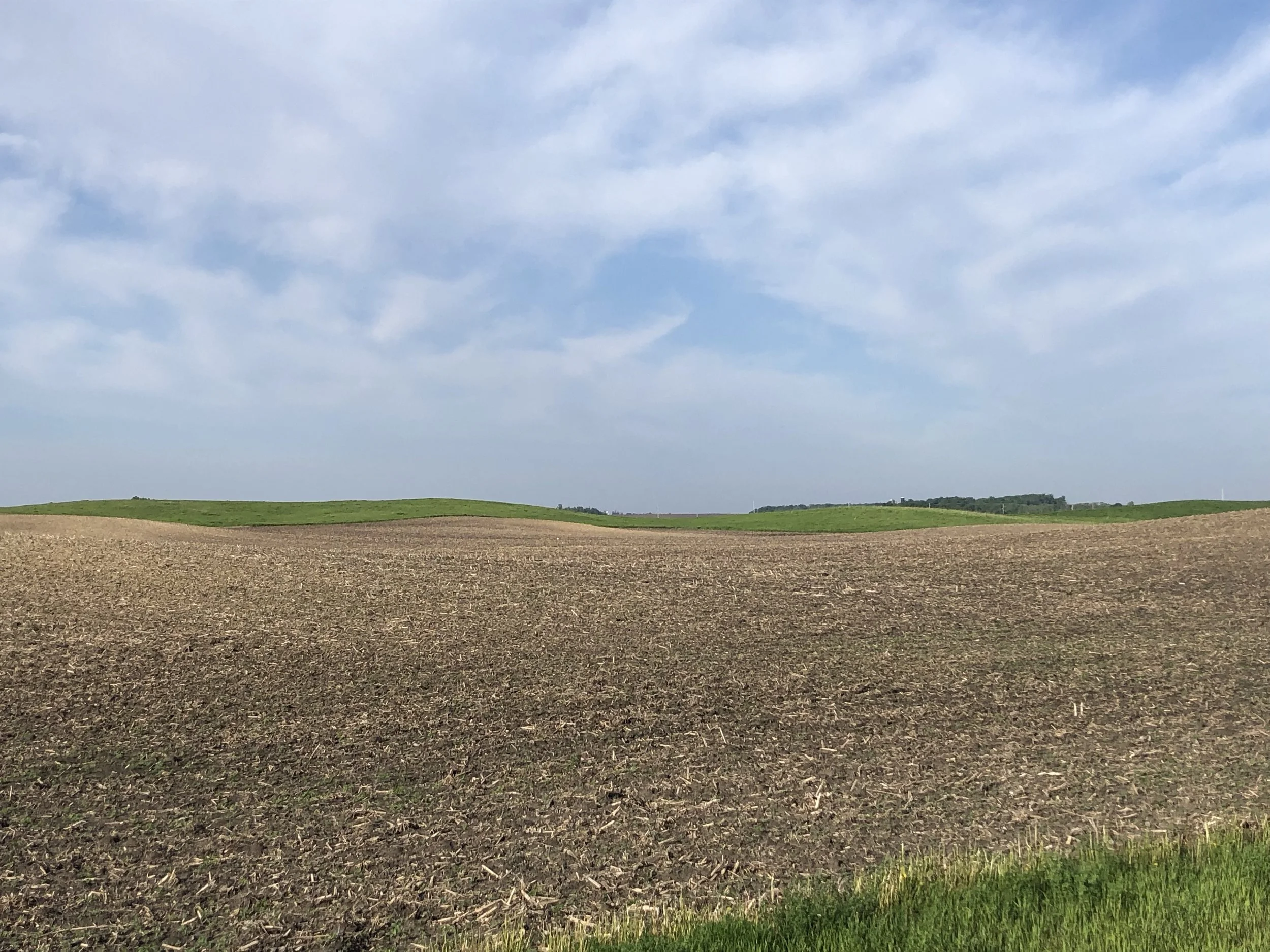
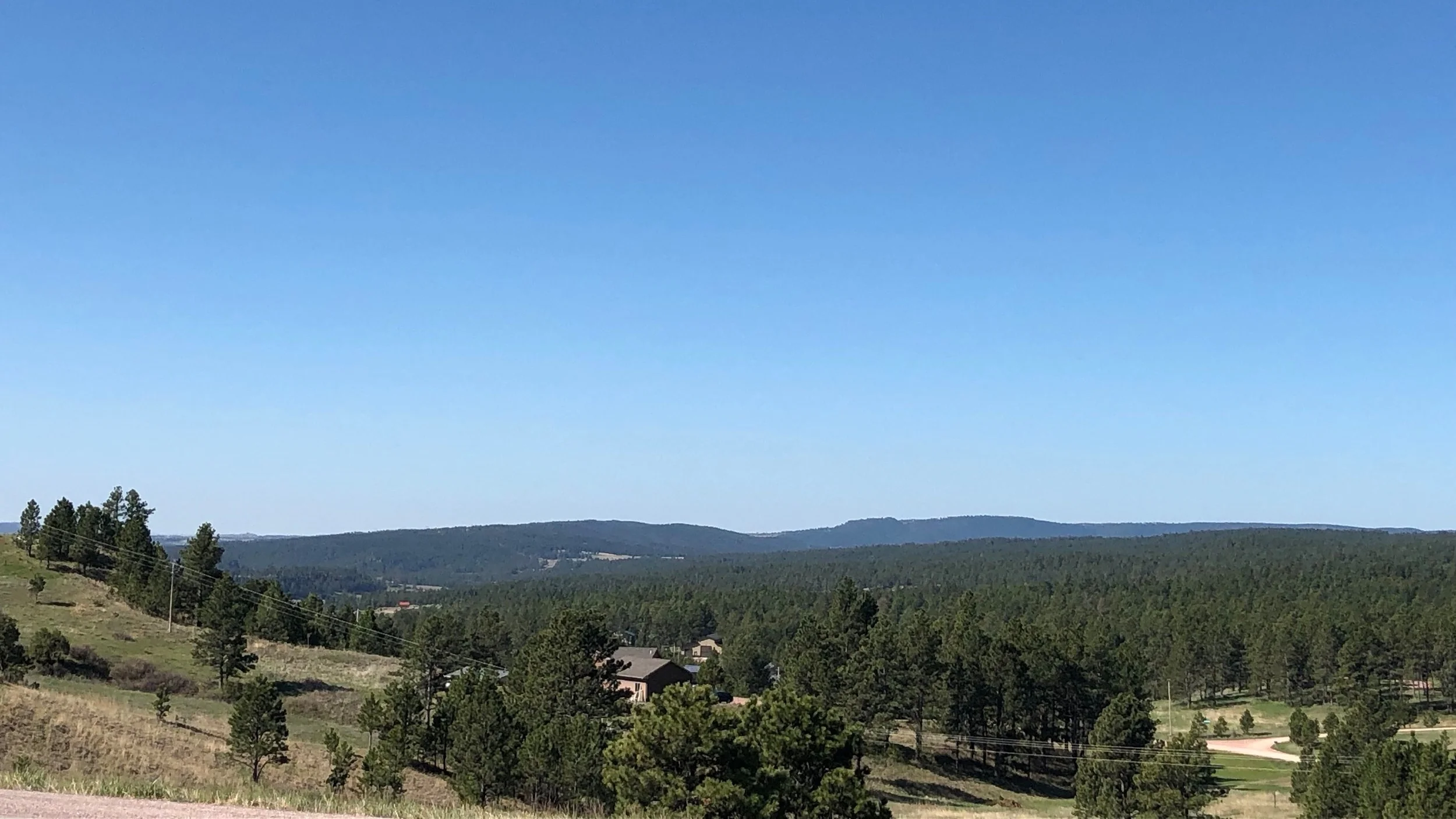
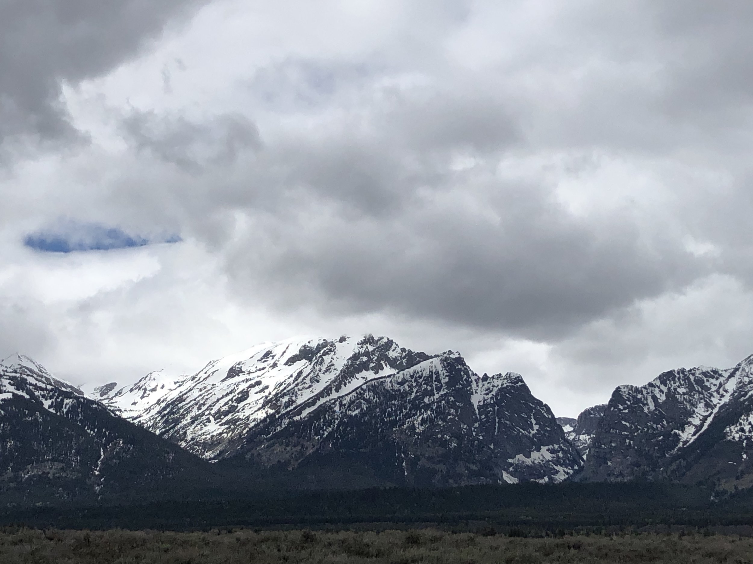
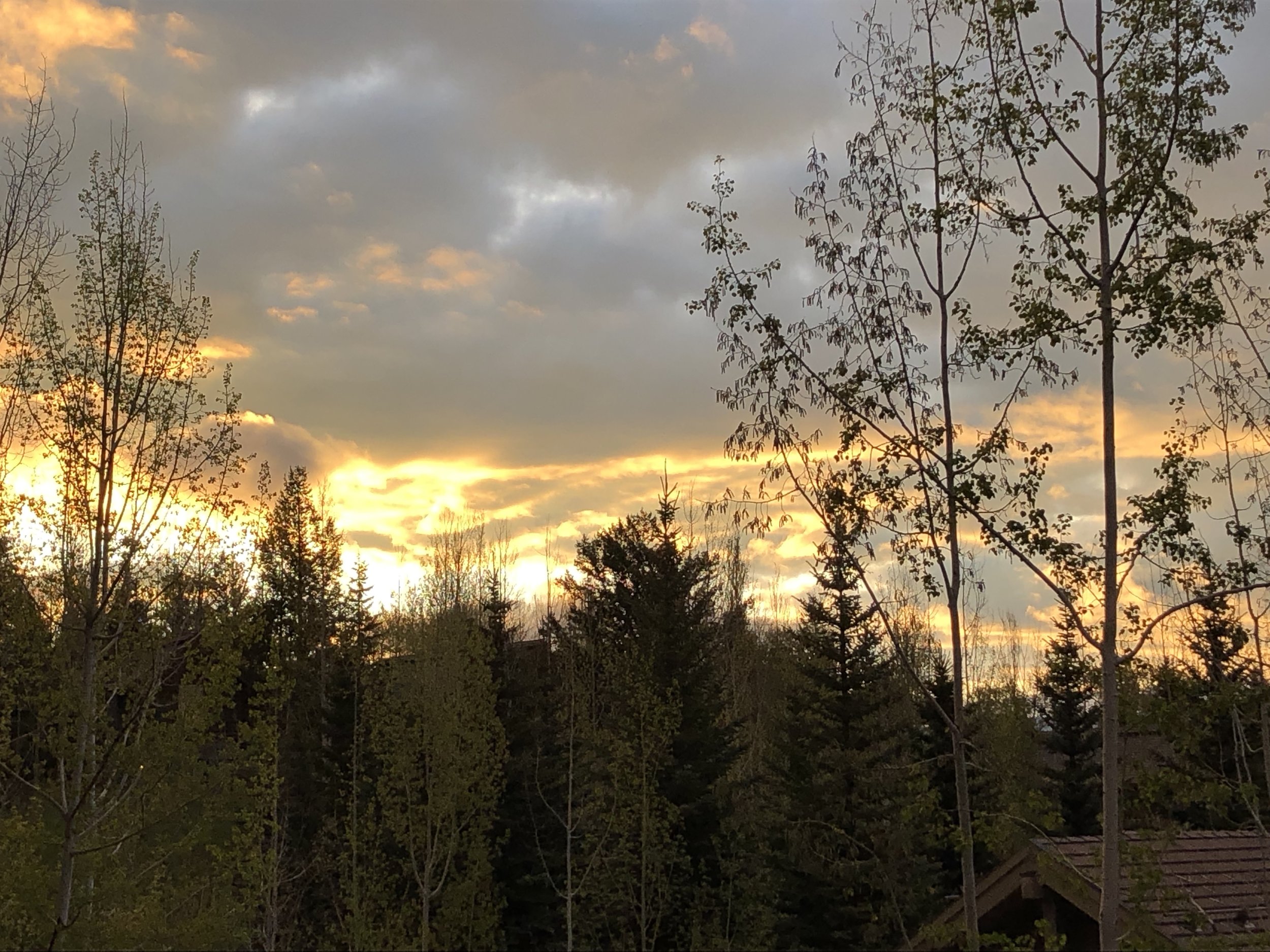
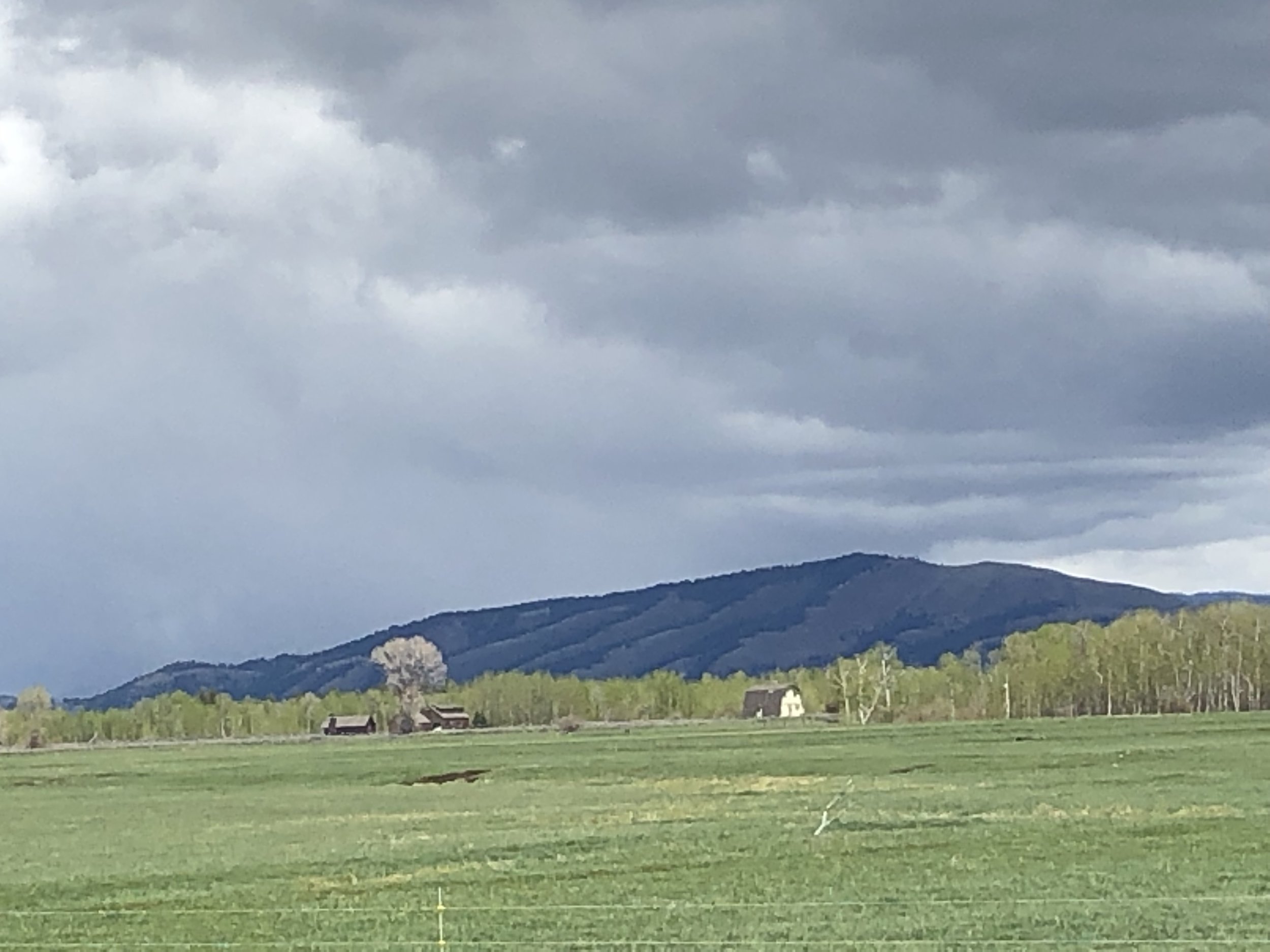
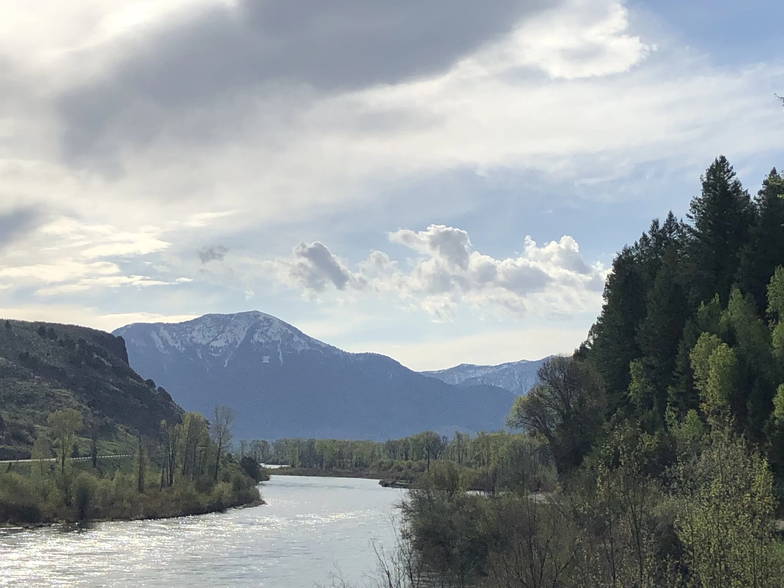
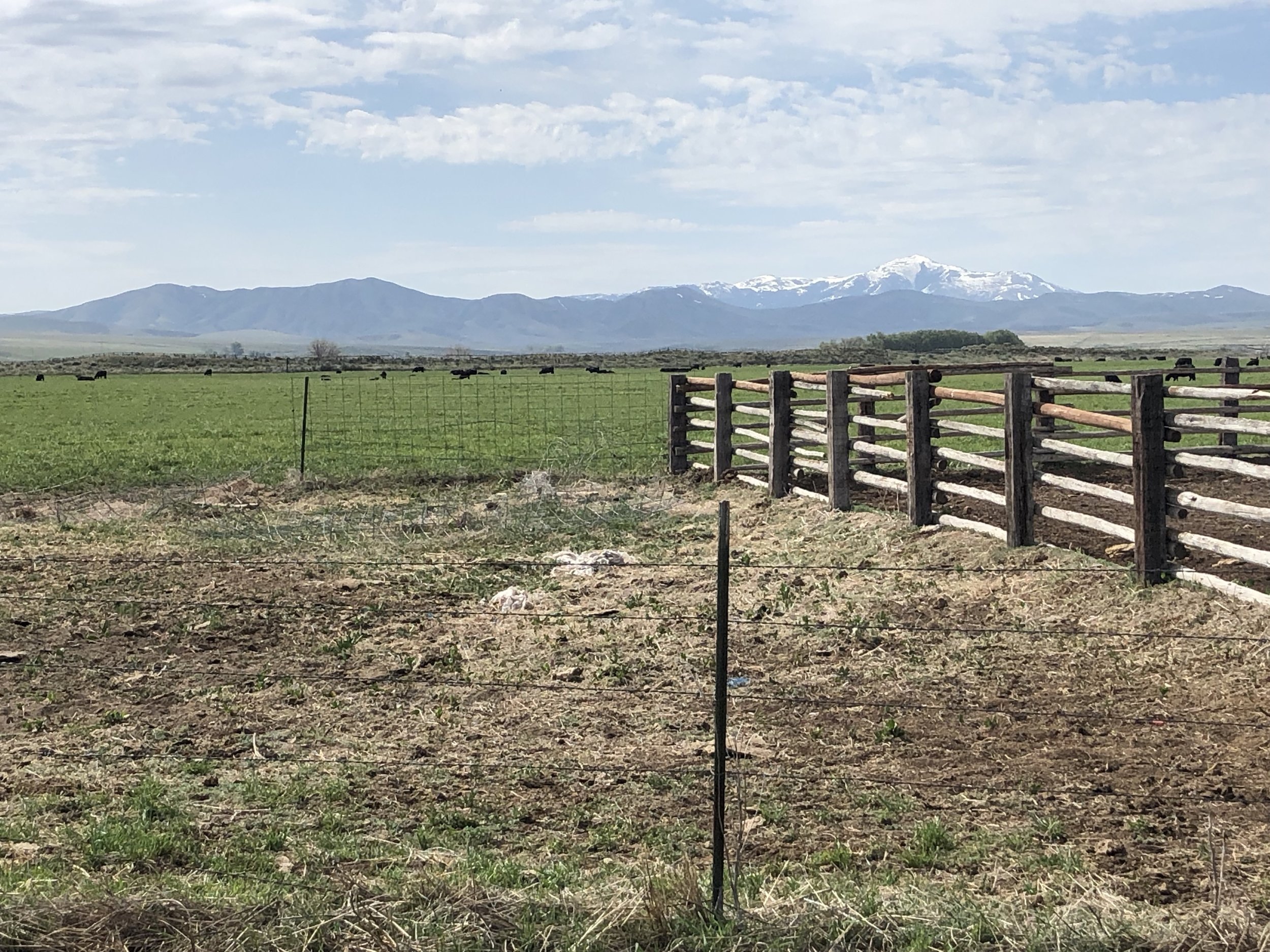
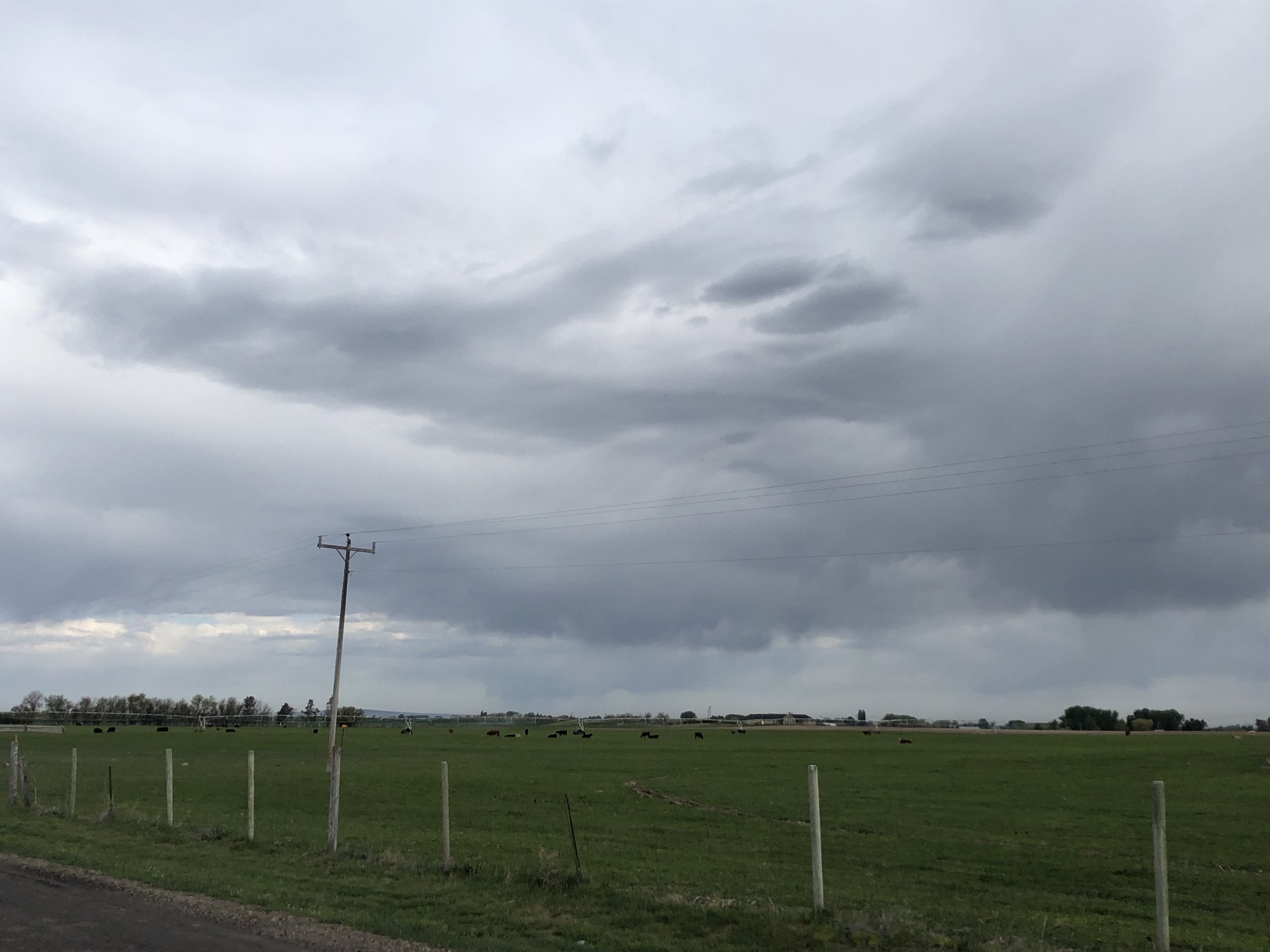
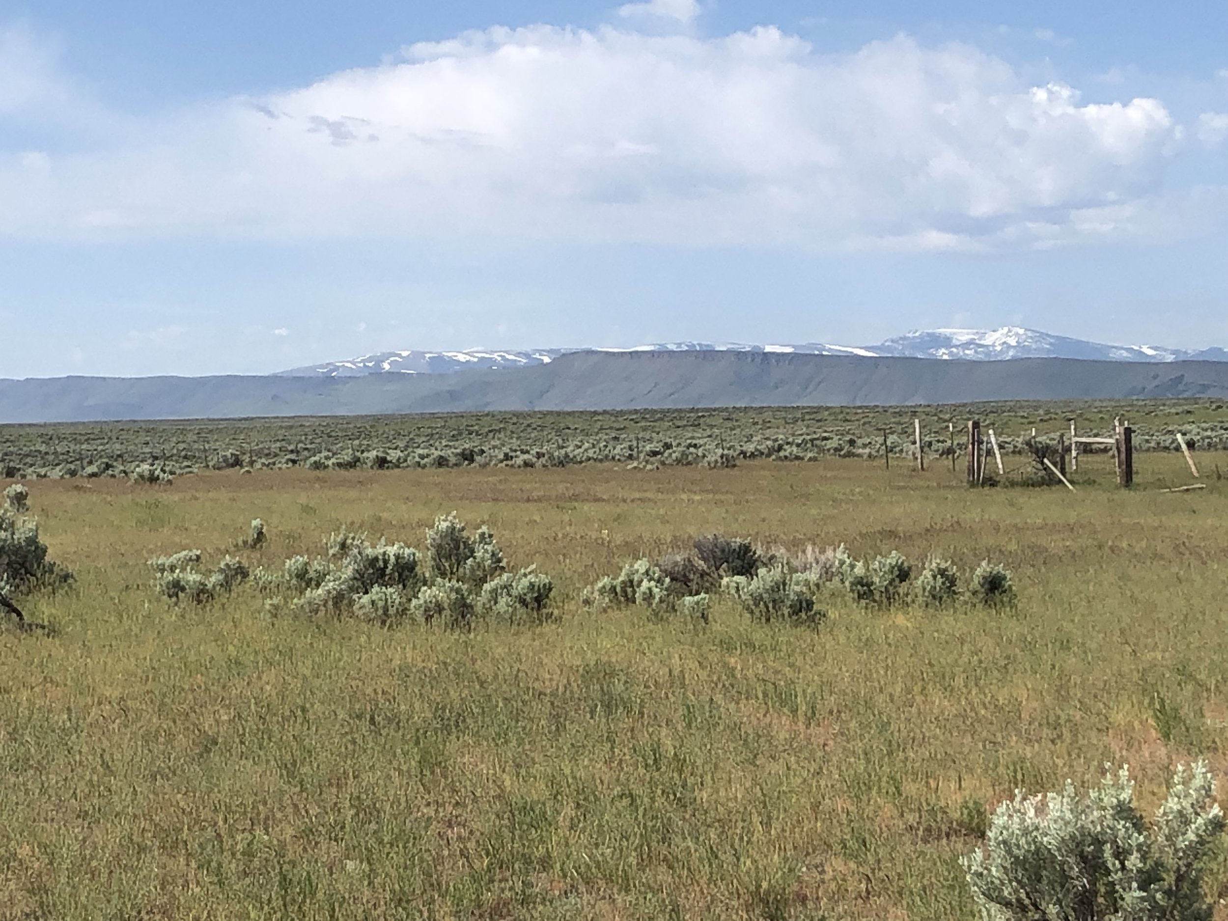
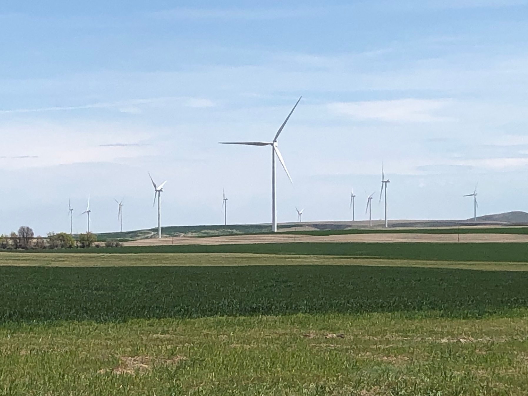
It was worth it. The climbing, stiff headwinds in the afternoon, and the tiredness from my cold contributed to a long day in the saddle. But I was rewarded by some exceptional views for the whole ride. Here are just a few highlights.


Despite the long day, we found time to squeeze in a visit to the Wollersheim Winery. In the wine tasting presentation I give covering the history of winemaking in the context of world history, I touch on Agoston Haraszthy, who is sometimes called the father of California viticulture. Before Haraszthy made his mark on California winemaking, he tried making wine in Wisconsin. After a few years he left for a better grape growing climate, but the vineyard he started in Wisconsin was recently rejuvenated after he left, and is now a flourishing winery and distillery. I had to make at least a brief stop.

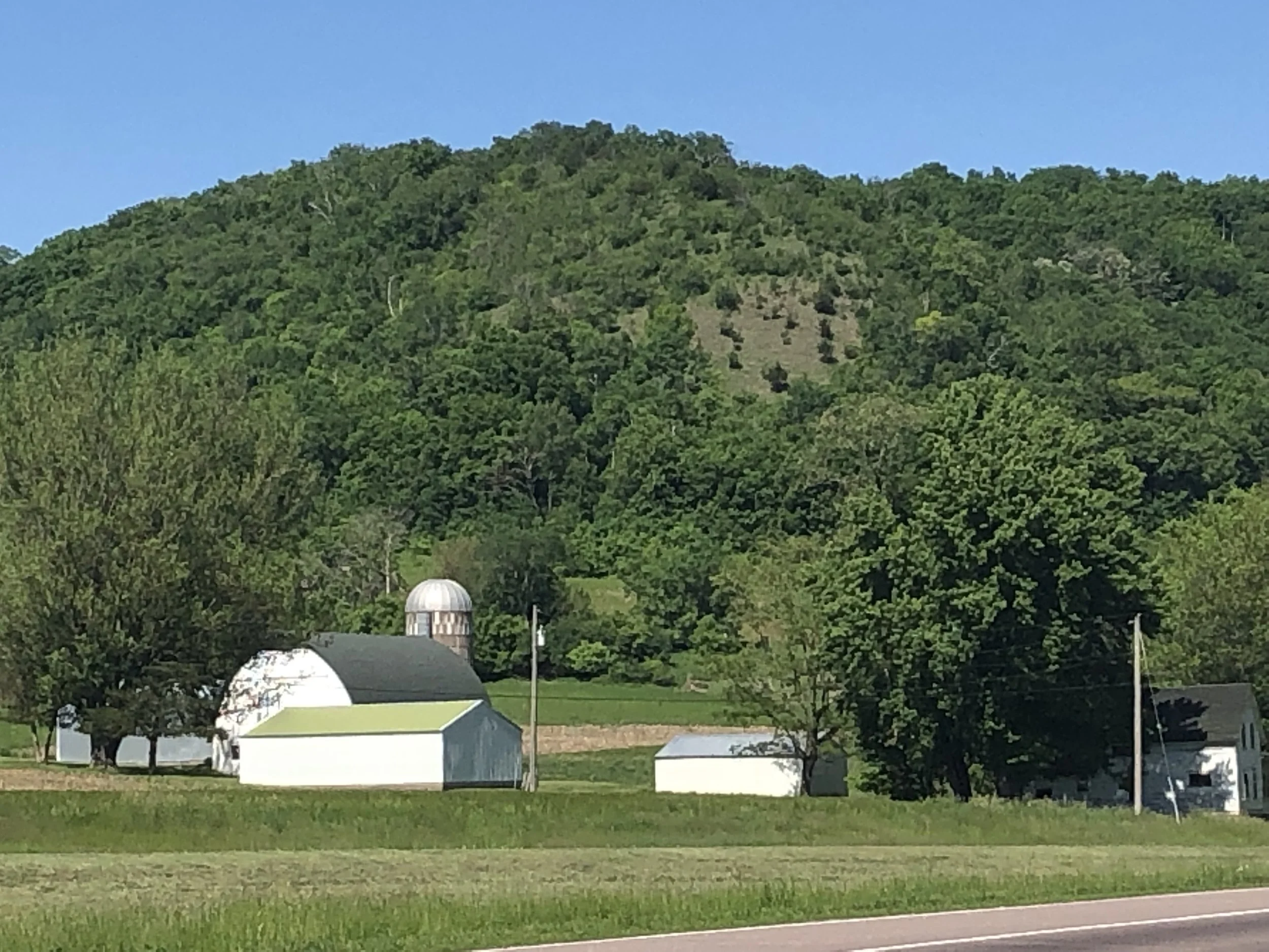
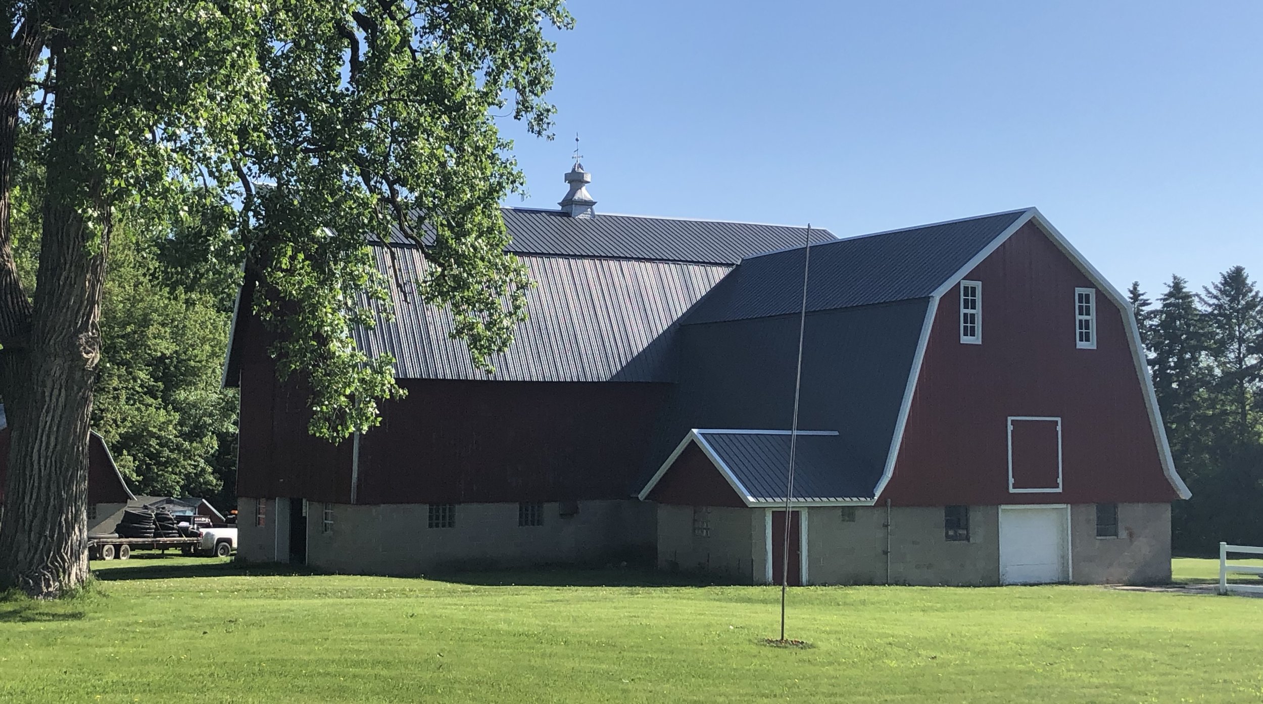
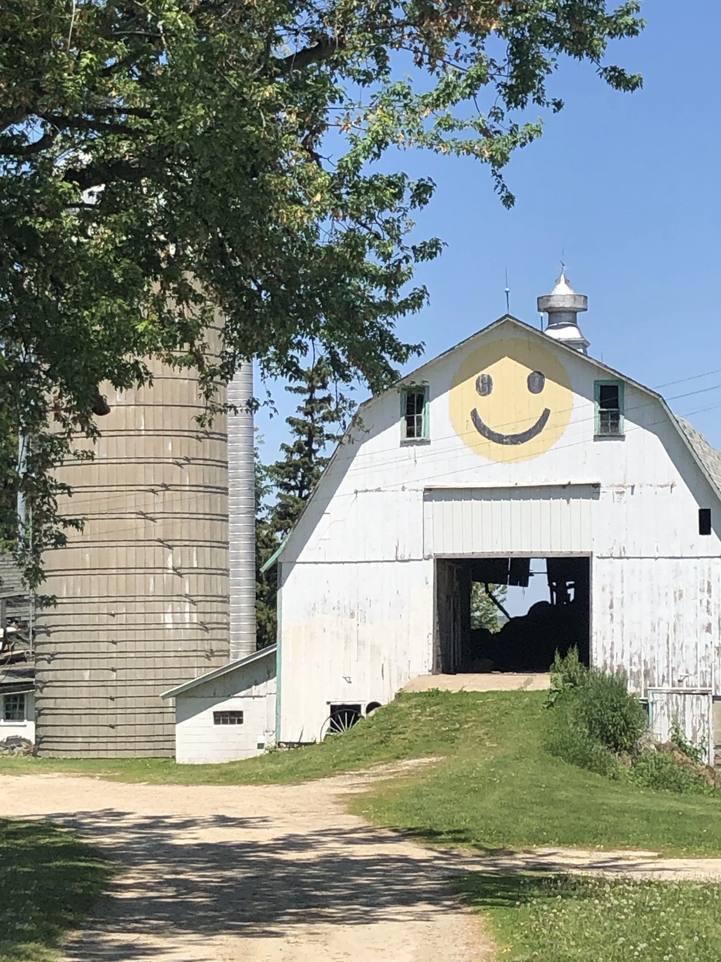
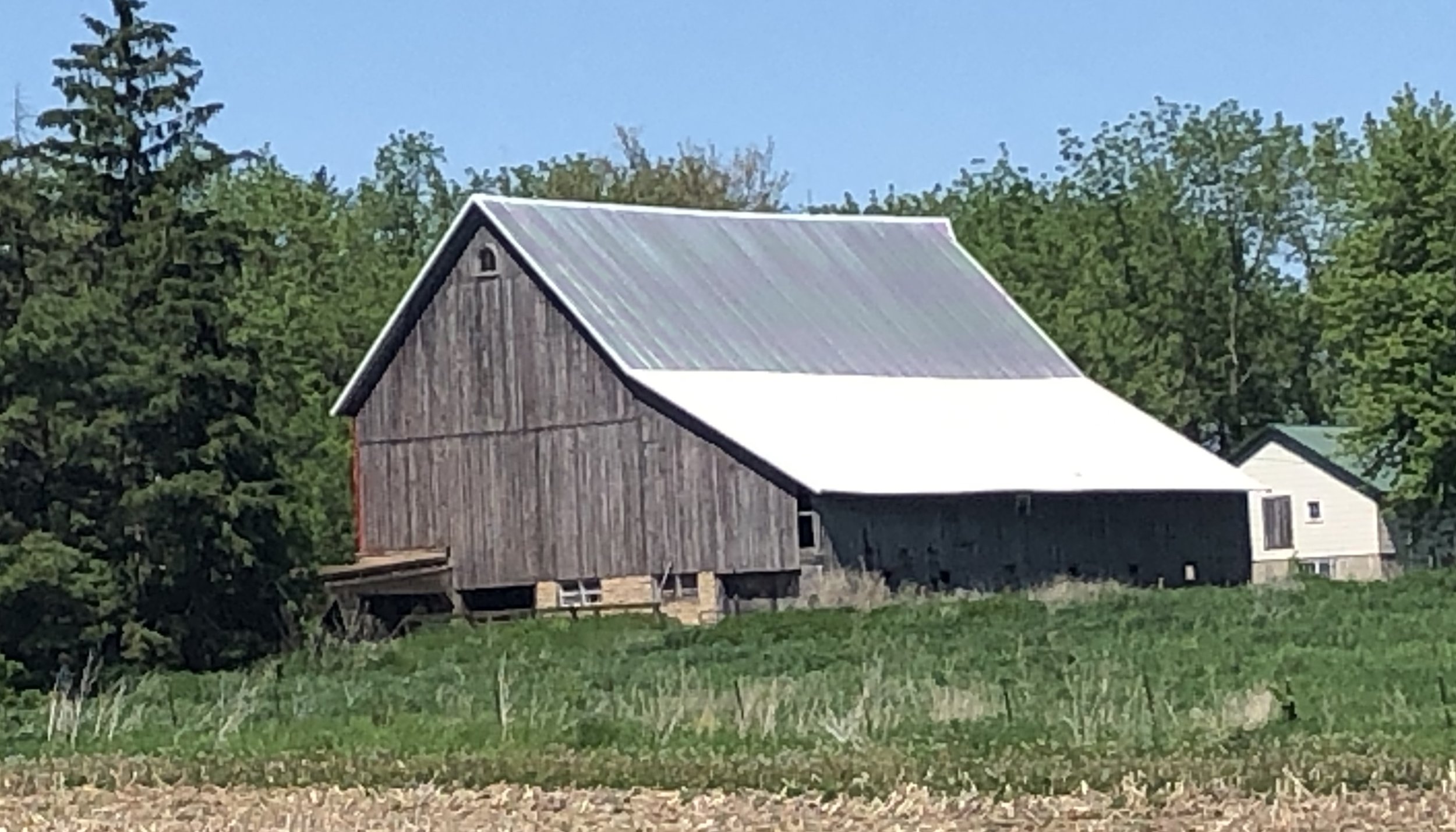
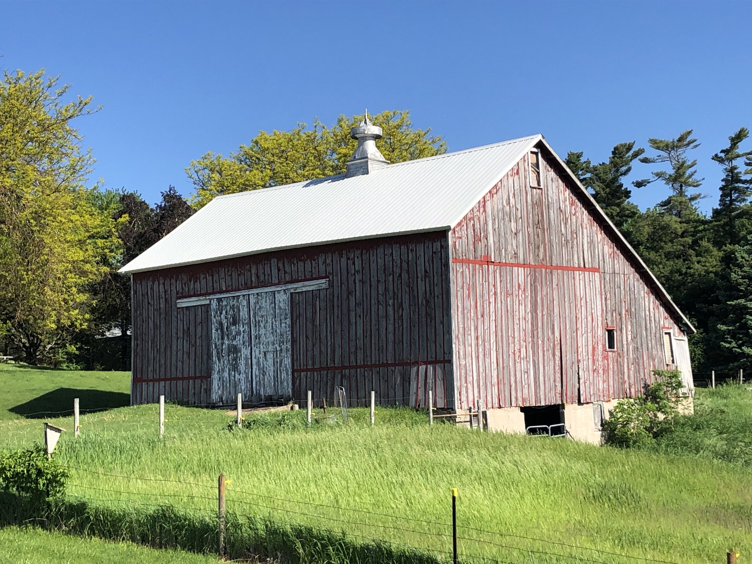
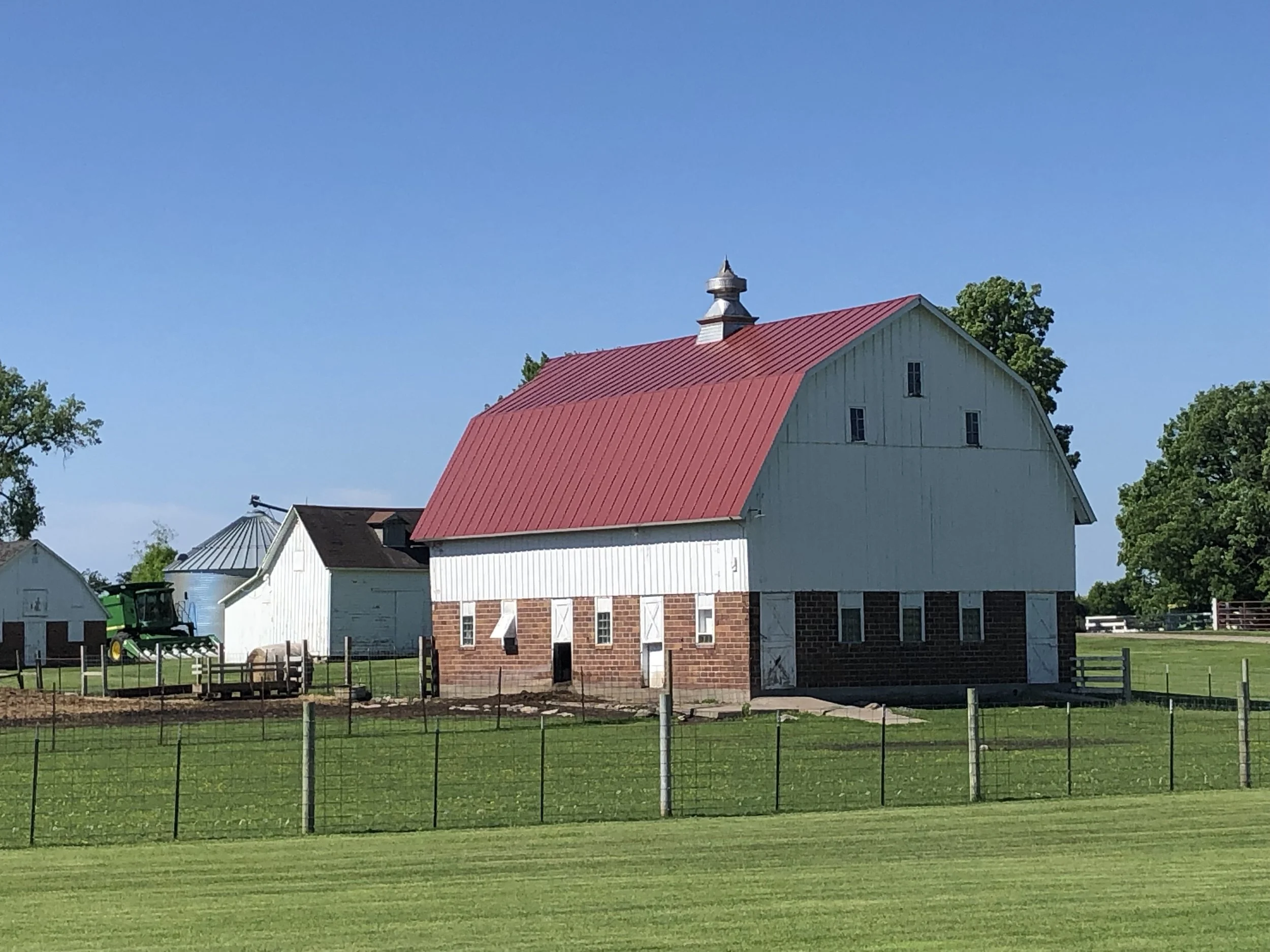
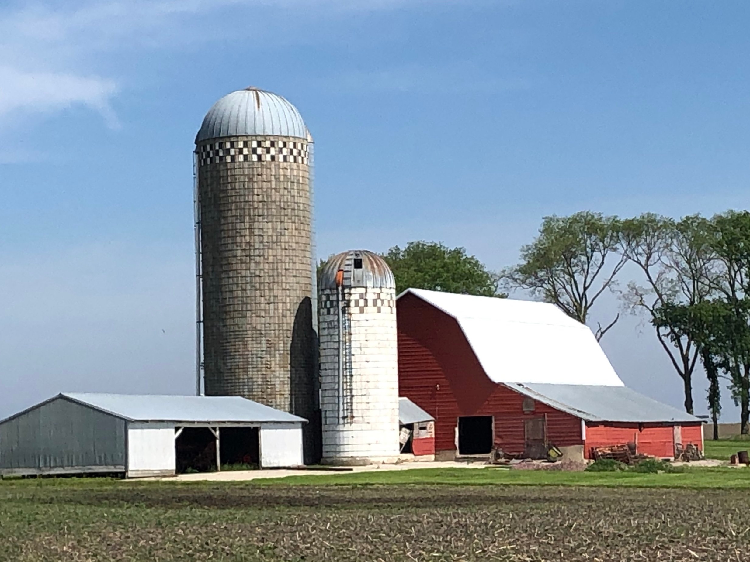
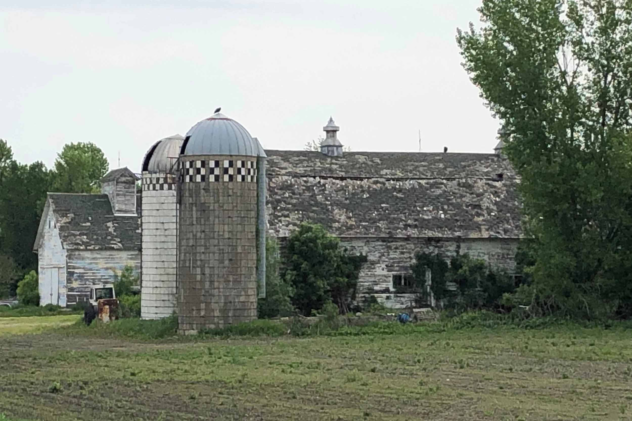
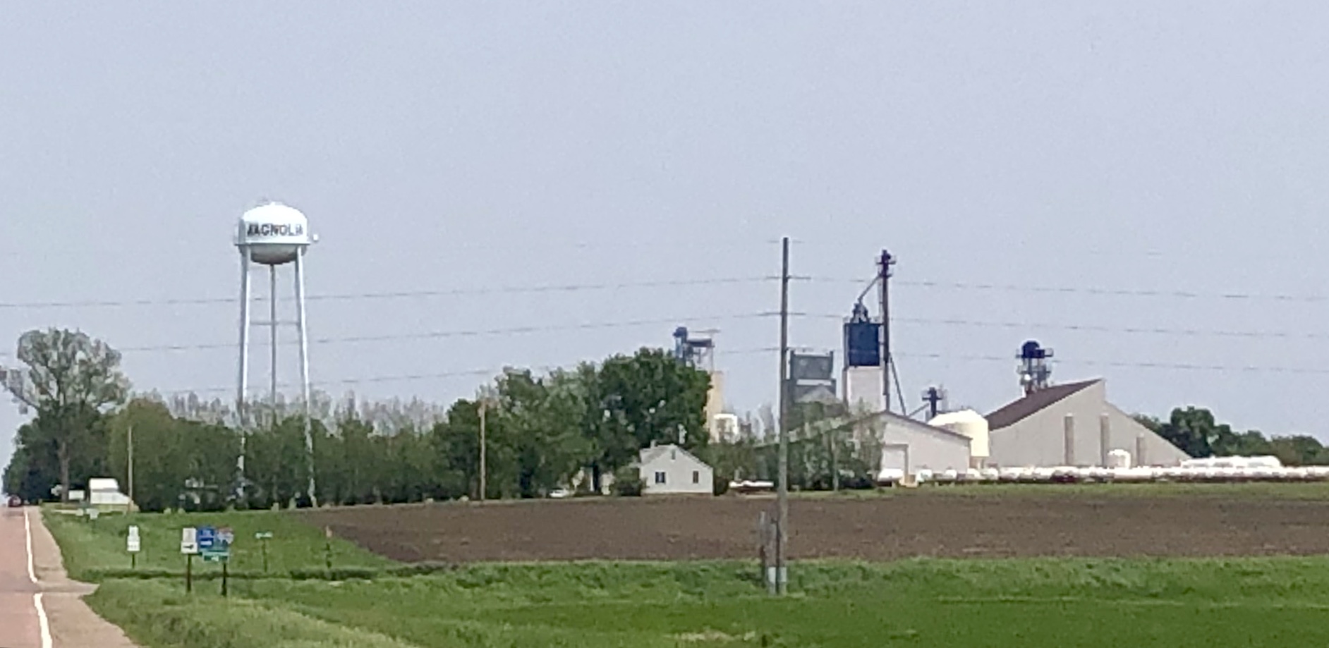
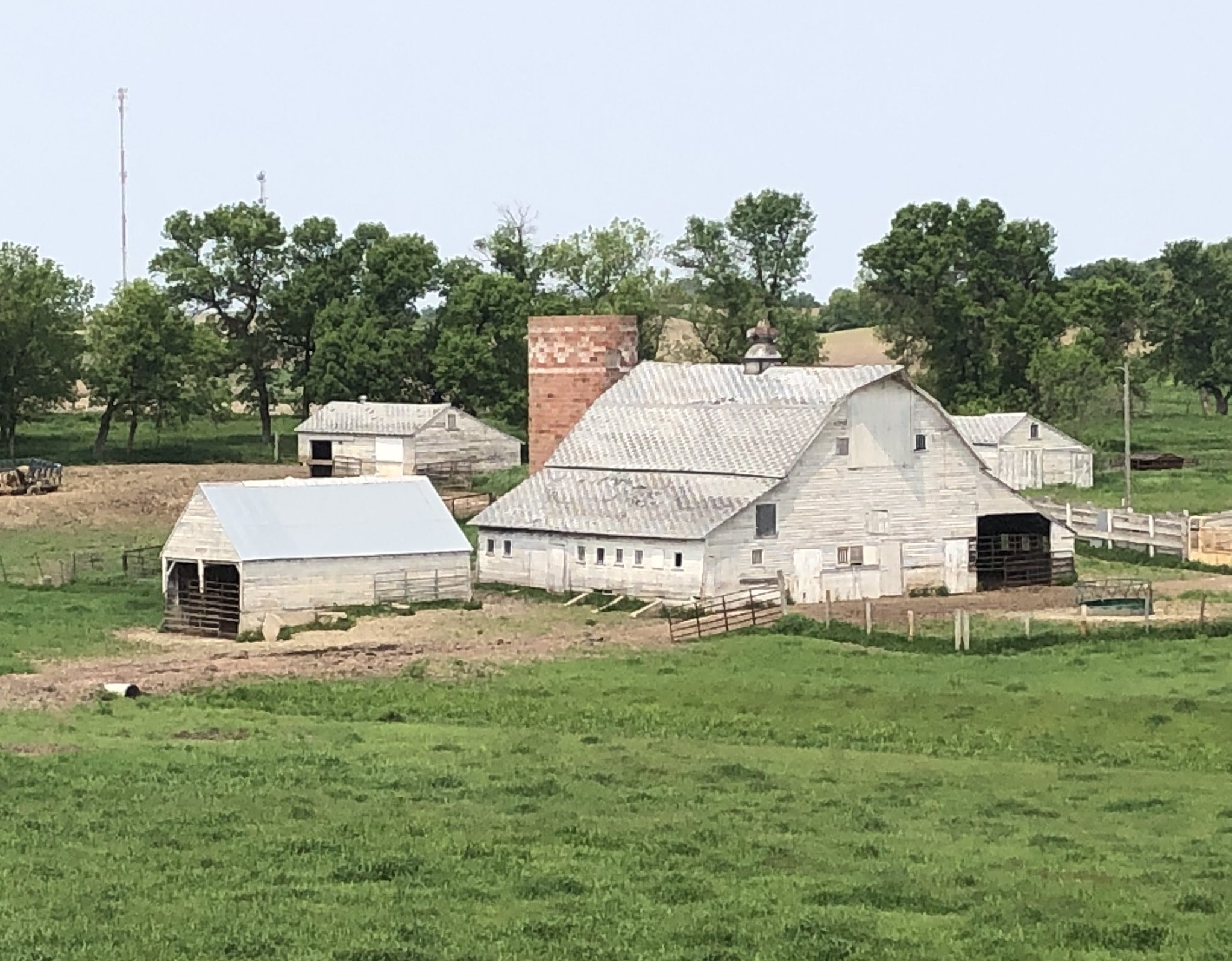
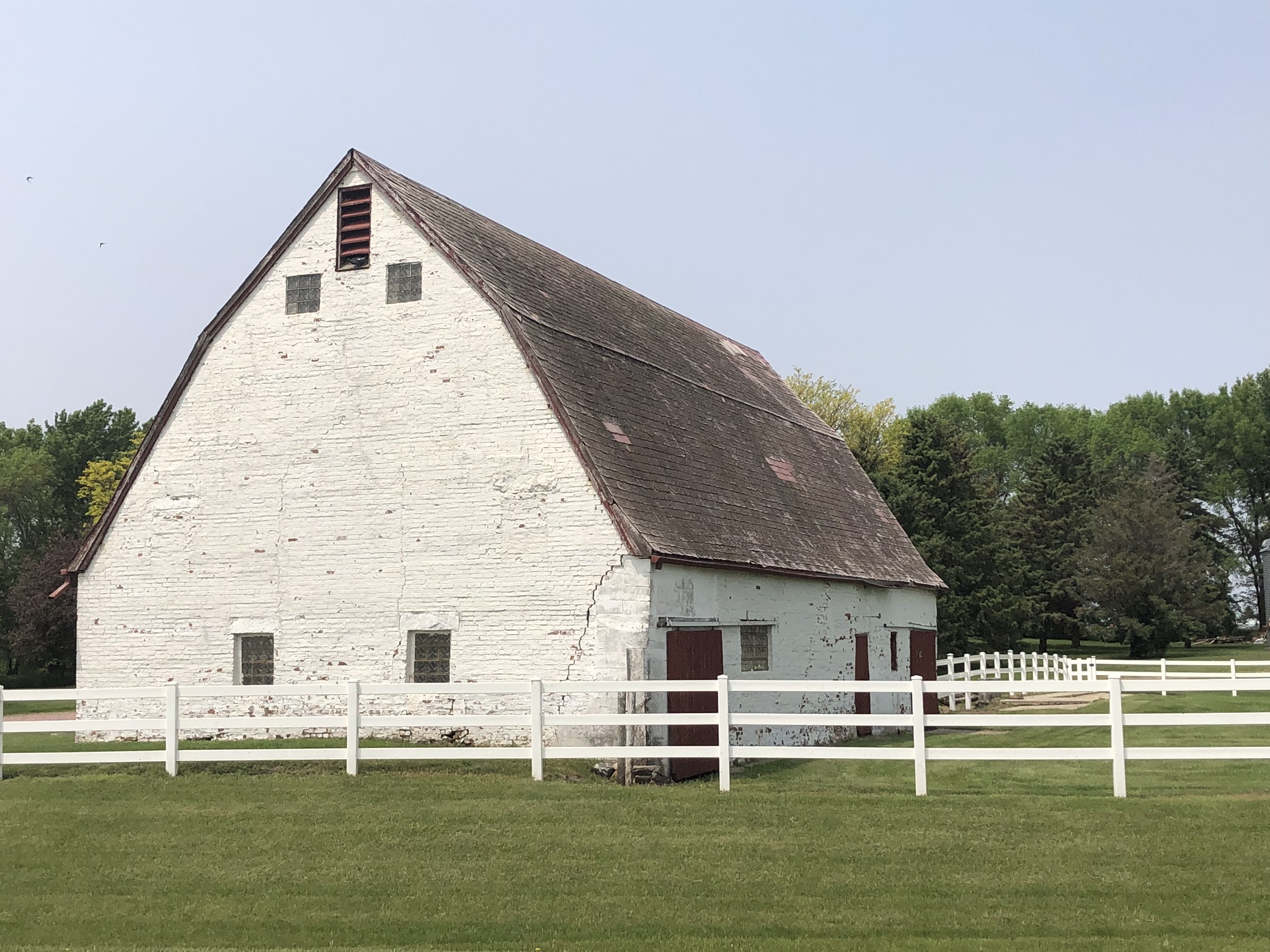
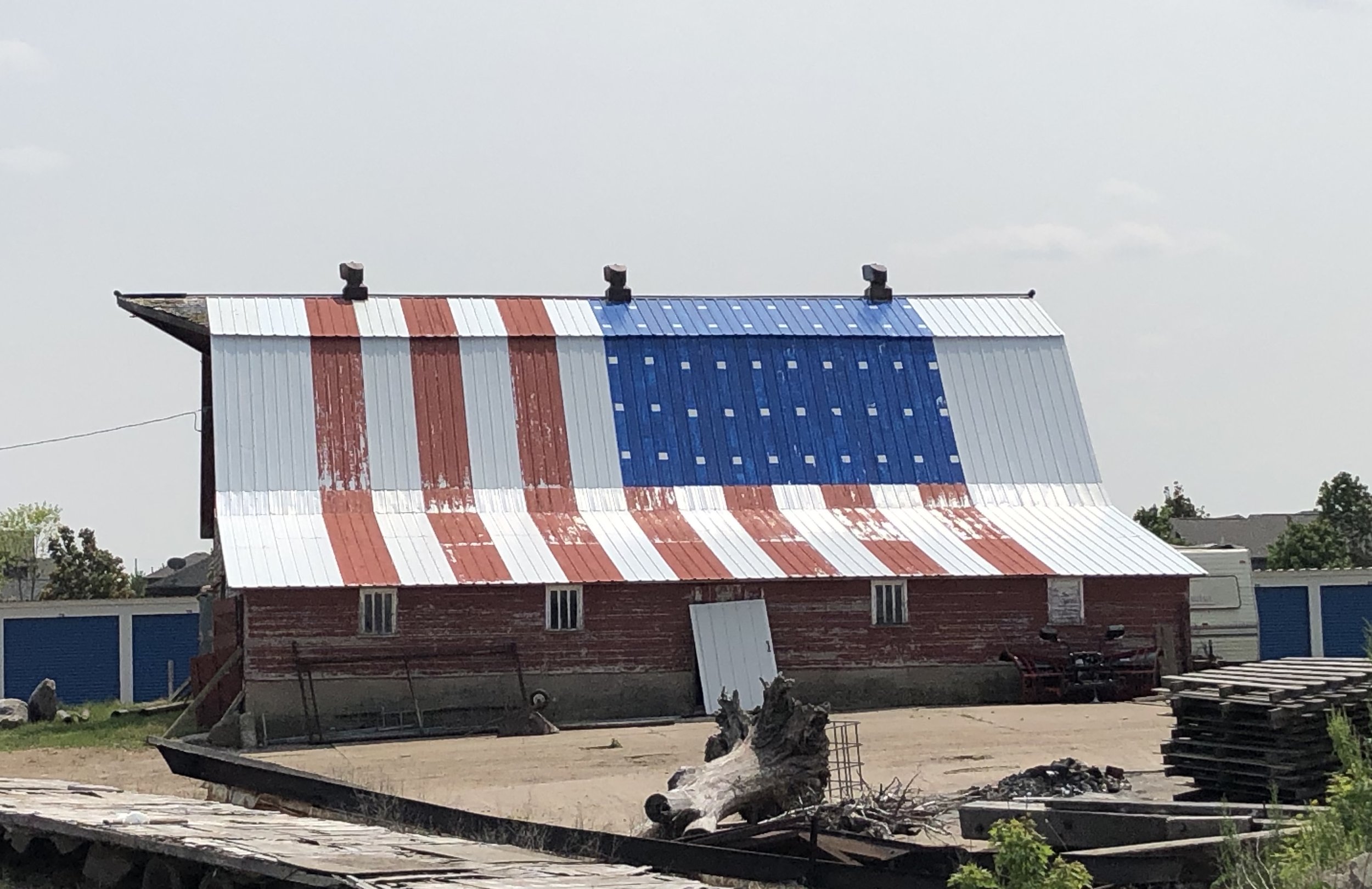
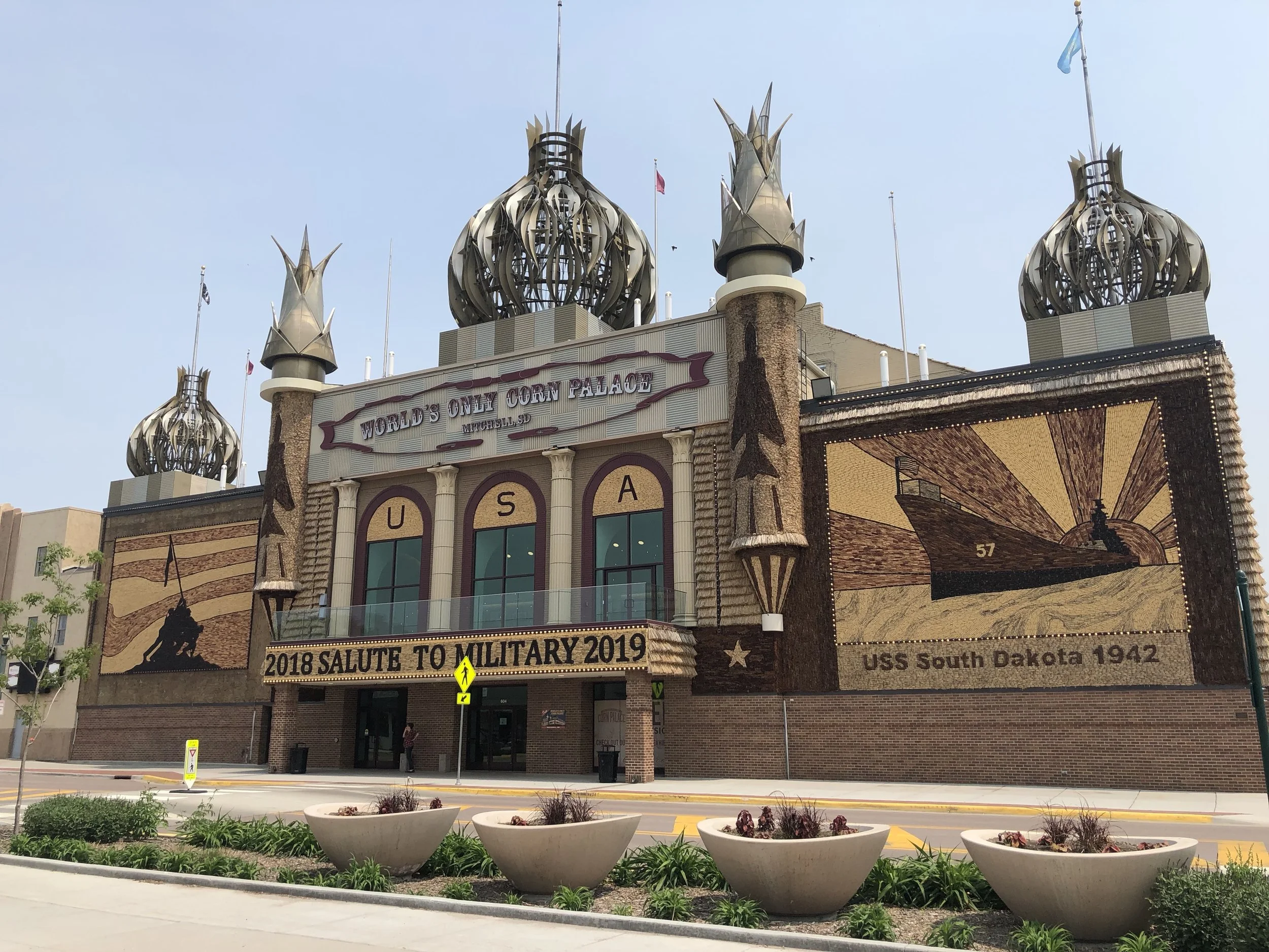
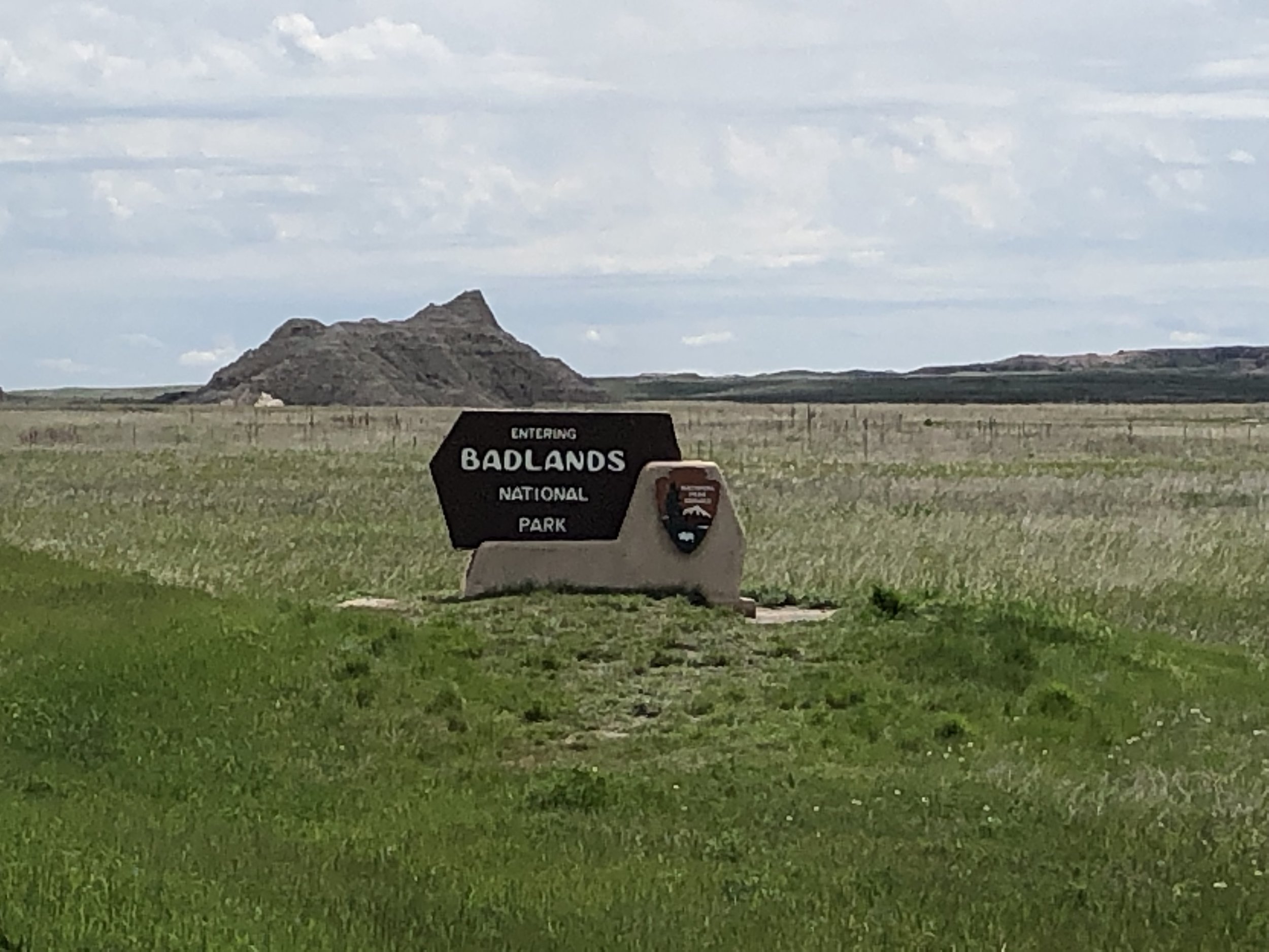
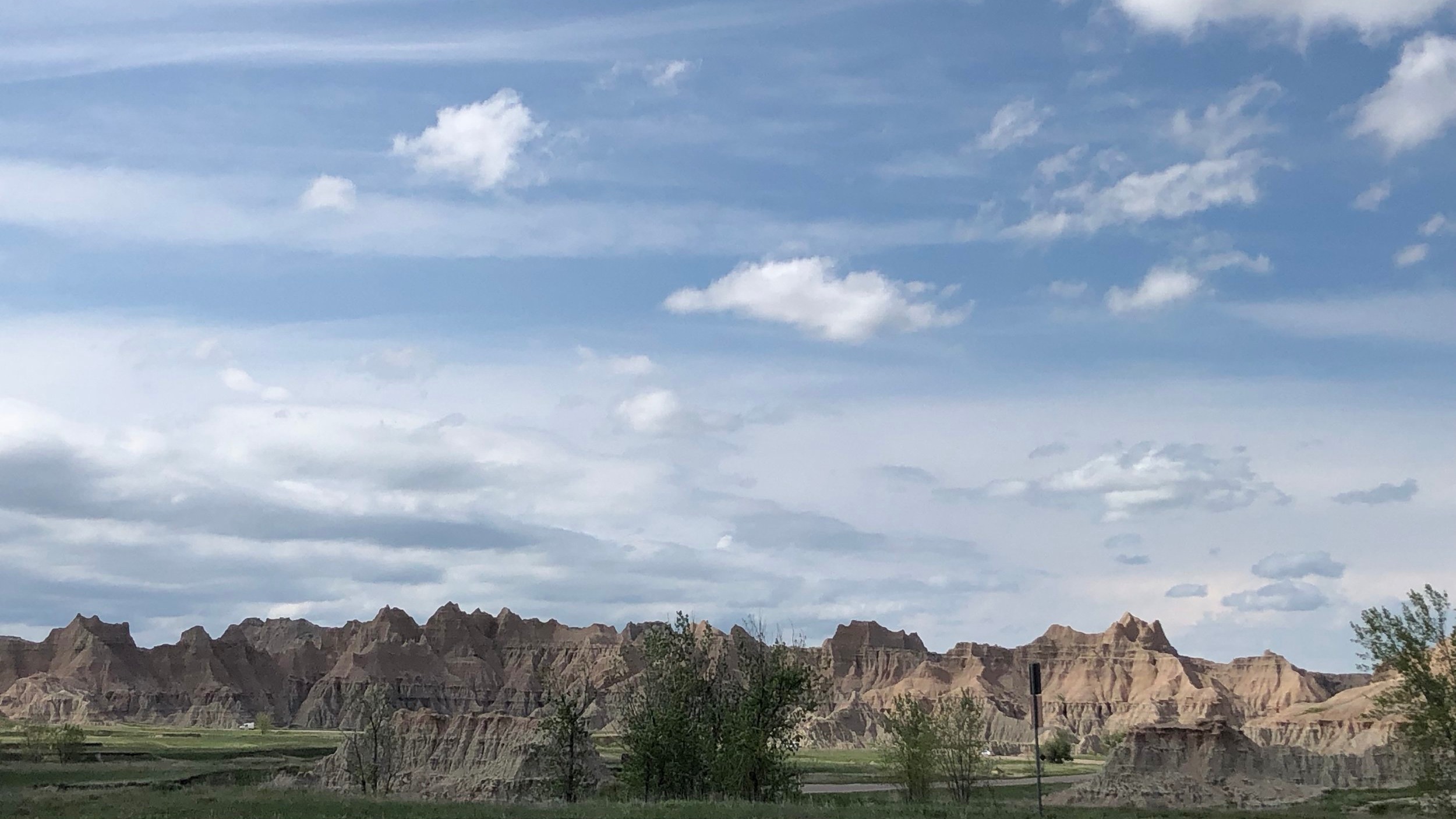
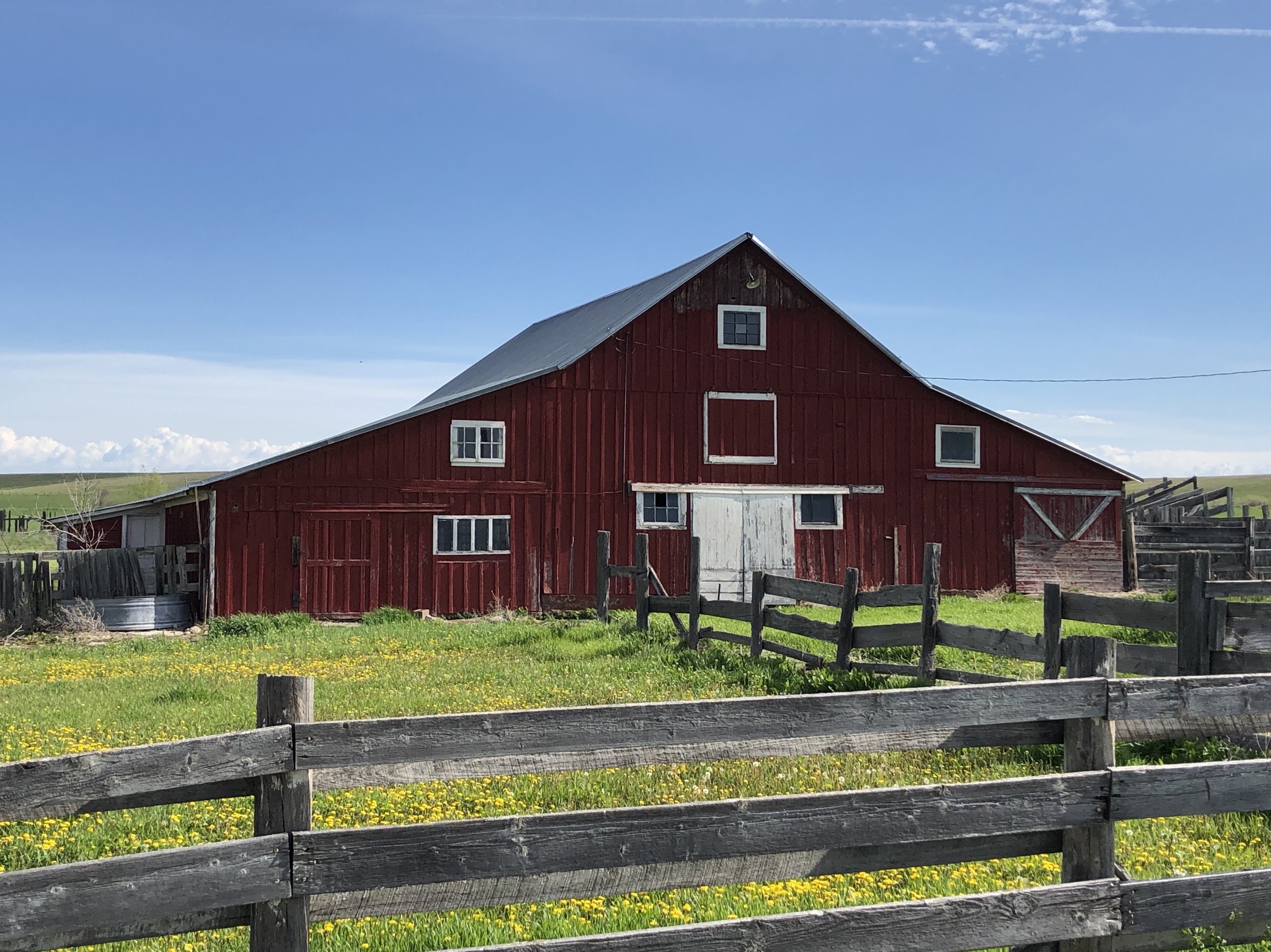
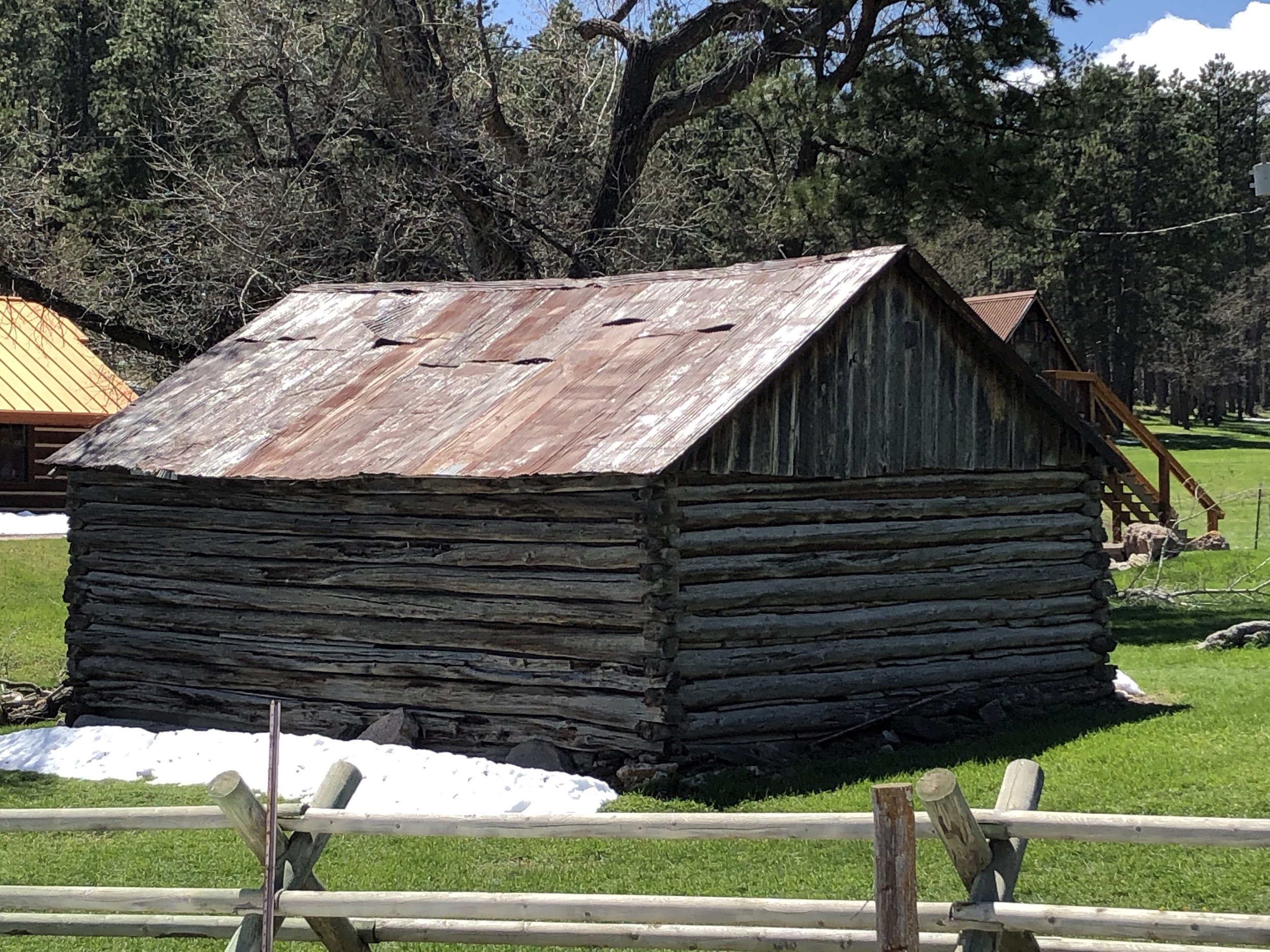
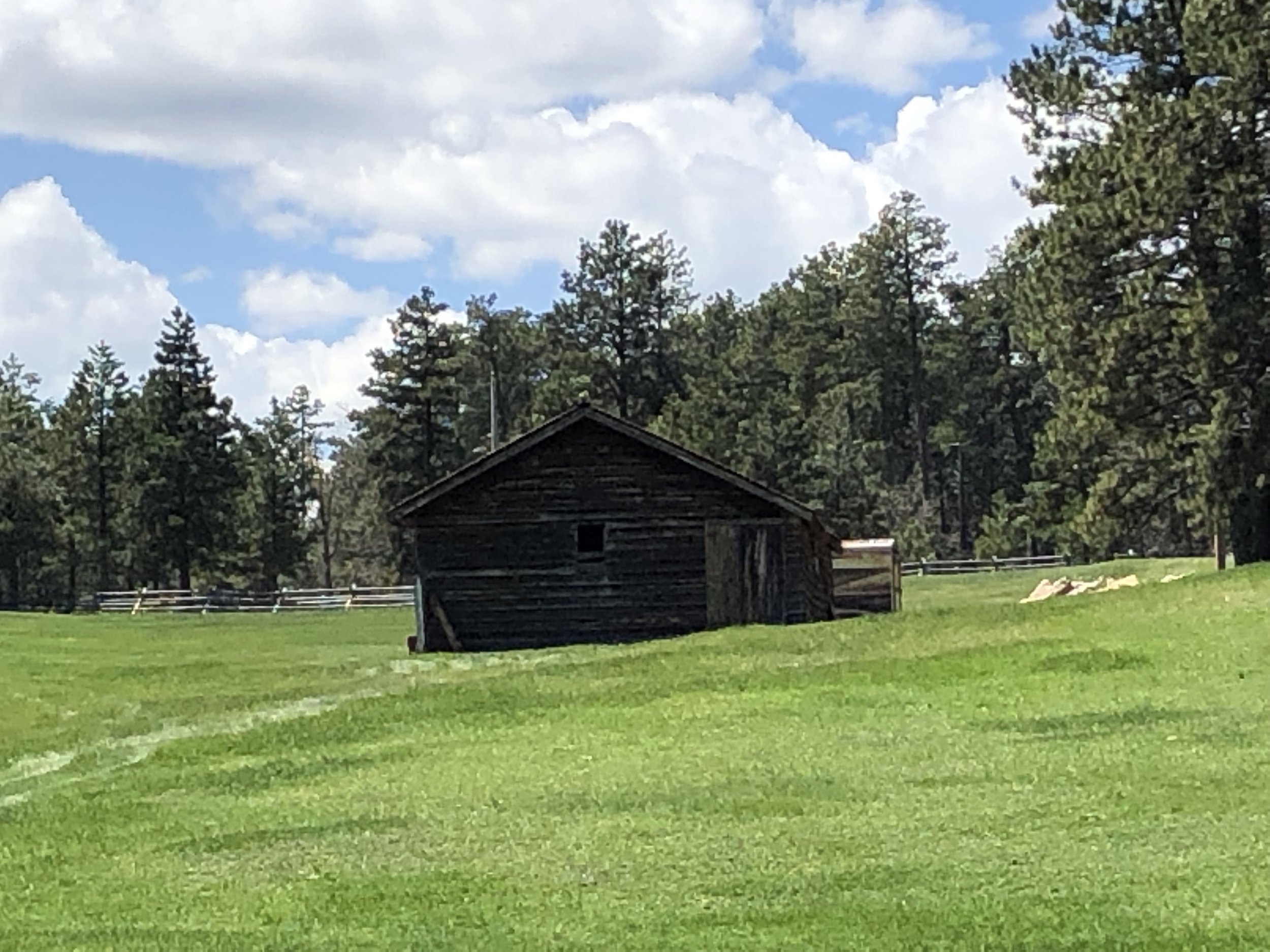
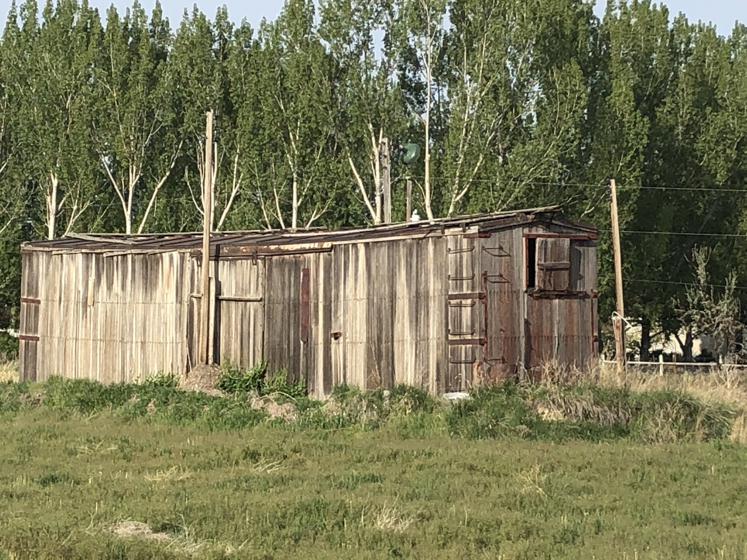
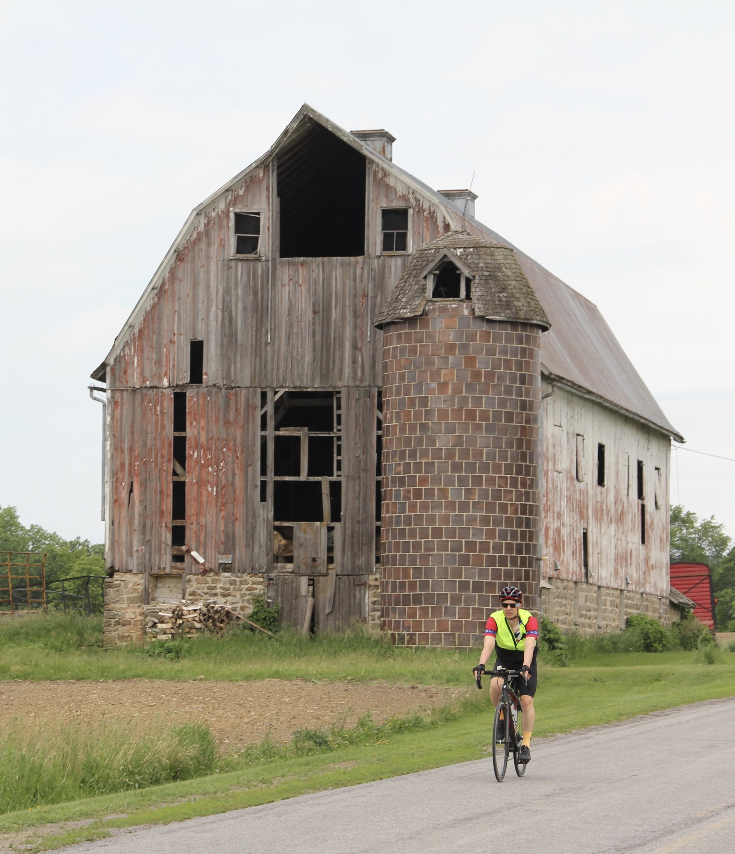
There were so many barns along our route today, that I would never have reached Madison if I stopped to photograph even a small fraction of them. Here are some I did stop for, and one that Toni stopped for that I passed by.
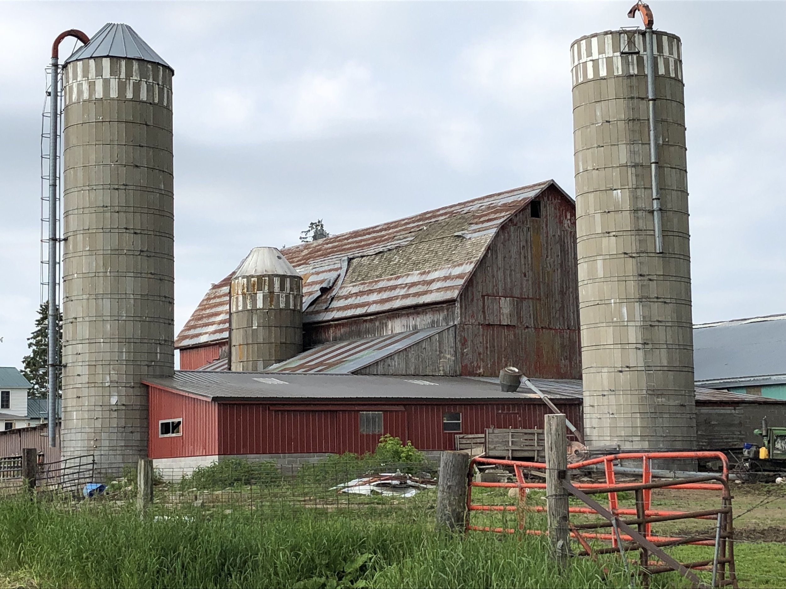
Wellington, Wisconsin

Prairie du Sac, Wisconsin
*A number of the titles for my blog posts are taken from songs that go through my head as I ride. With apologies to the State of Wisconsin, today’s title is a takeoff from the John Roberts and Tony Barrand song “The Rolling Mills of New Jersey.”
The technical stuff:
Tomah, Wisconsin to Madison, Wisconsin
100.3 miles
6,696 feet of climbing
Average speed 13.3 miles per hour
Weather: Mostly overcast with some sun; . Temperature around 60 to start, up to around 80, then down to around 65 in late afternoon. Winds light and variable in the morning and 15-20 MPH from the east in the afternoon; mostly headwinds.
You can see the entire route to date here.